
- elevation 597 ft (182 m) Basin area 38,337 km² | Length 845 km Discharge 245.7 m³/s | |
 | ||
- average 8,678 cu ft/s (246 m/s) Bridges Kate Shelley High Bridge, Court Avenue Bridge, Berkhimer Bridge, Boone Bridge 2 | ||
The Des Moines River is a tributary of the Mississippi River in the upper Midwestern United States that is approximately 525 miles (845 km) long from its farther headwaters. The largest river flowing across the state of Iowa, it rises in southern Minnesota and flows across Iowa from northwest to southeast, passing from the glaciated plains into the unglaciated hills near the capital city of Des Moines, named after the river, in the center of the state.
Contents
Map of Des Moines River, Iowa, USA
The Des Moines River forms a short portion of Iowa's border with Missouri in Lee County. The Avenue of the Saints, a four-lane highway from St. Paul, Minnesota to St. Louis, Missouri, passes over this section; the highway is designated Route 27 in both Iowa and Missouri, and was completed in the early 21st century.
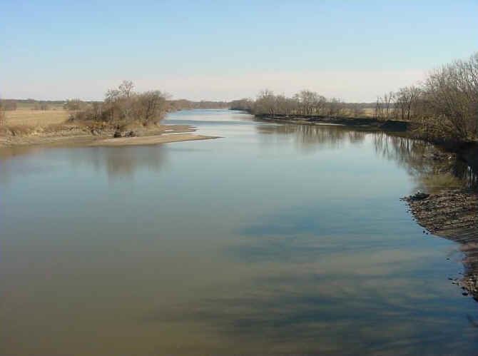
HydrographyEdit
The Des Moines River rises in two forks. The West Fork (the main branch) rises out of Lake Shetek in Murray County in southwestern Minnesota. It flows south-southeast into Emmet County, Iowa, past Estherville. The East Fork rises out of Okamanpeedan Lake in northern Emmet County on the Iowa-Minnesota border and flows south, through Algona.
The two forks join in southern Humboldt County, approximately 5 miles (8 km) south of Humboldt at Frank Gotch State Park. The combined stream flows roughly southward through Fort Dodge. South of Boone it passes through the Ledges State Park. It flows through downtown Des Moines, then turns generally southeastward, flowing through Ottumwa. It forms approximately 20 miles (32 km) of the border between Iowa and Missouri before joining the Mississippi from the northwest at Keokuk.
It receives the Boone River from the northeast approximately 20 miles (32 km) southwest of Fort Dodge. It receives the Raccoon River from the west in the city of Des Moines. Above the city of Des Moines, it is impounded to create the Saylorville Lake reservoir. About midway below Saylorville and above Ottumwa, near Pella, the river is impounded to create the Lake Red Rock reservoir.
HistoryEdit
One of the earliest French maps that depicts the Des Moines (1703) refers to it as "R. des Otentas," which translates to "River of the Otoe"; the Otoe Tribe lived in the interior of Iowa in the 18th century. The Meskwaki and Sauk people referred to the river as "Ke-o-shaw-qua", (Hermit's River) from which Keosauqua, Iowa derives its name. The Dakota Indians, who lived near its headwaters in present-day Minnesota, referred to it as "Inyan Shasha" in their Siouan language. Another Siouan name was "Eah-sha-wa-pa-ta," or "Red Stone" river, possibly referring the bluffs at Red Rock or the reddish Sioux Quartzite bedrock near its headwaters.
The origin of the name Des Moines is obscure. Early French explorers named it La Rivière des Moines, literally meaning "River of the Monks." The name may have referred to early Trappist monks who built huts near the mouth of the river at the Mississippi. It may also refer to moingona, an American Indian word meaning "river of the mounds," in reference to the burial mounds that were located near the banks of the river. The 1718 Guillaume Delisle map (pictured) labels it as "le Moingona R."
One source claims that the name "des Moines" is the result of a hoax. In 1673 Father Jacques Marquette met some representatives of the Peoria tribe near the mouth of the Des Moines River. He asked them the name of the rival tribe who lived upriver. The Peoria told him that tribe was called the Moingoana, from which 'Moines' was derived. But researcher Michael McCafferty of Indiana University, while studying the now extinct Miami-Illinois language of the Peoria, discovered that Moingoana, translated literally, meant "shit faces." That may have been the way the Peoria referred to their rival tribe.
During the mid-19th century, the river supported the main commercial transportation by water across Iowa. River traffic began to be superseded by the railroads constructed from the 1860s.
FloodingEdit
The river has a history of seasonal flooding. For example, in May 1944 the Riverview Park had just opened for the season on May 19, 1944. At around dawn on May 23, the levee began to collapse. The river was too much to hold back. Quickly the breach in the levee grew to nearly 100 feet (30 m) wide, and the river water quickly enveloped all of the park and the surrounding area.
The Great Flood of 1993 on the river and its tributary the Raccoon, in the summer of 1993, forced the evacuation of much of the city of Des Moines and nearby communities. In another period of flooding, on June 13, 2008, officials issued a voluntary evacuation order for much of downtown and other areas bordering the Des Moines River. The river had reached flood stage in many locations, and Mayor Frank Cownie said the evacuations were an attempt "to err on the side of citizens and residents."
Variant namesEdit
According to the Geographic Names Information System, the Des Moines River has also been known as: