
Area code(s) +53-43 Area 713 km² Population 27,813 (2004) | Time zone EST (UTC-5) Elevation 20 m Local time Sunday 5:53 PM | |
 | ||
Weather 26°C, Wind NE at 27 km/h, 62% Humidity | ||
Primero de Enero is a municipality and town in the Ciego de Ávila Province of Cuba. Originally named Violeta, its name means "1st of January" in Spanish, and is referred to the final day (in 1959) of Cuban Revolution.
Contents
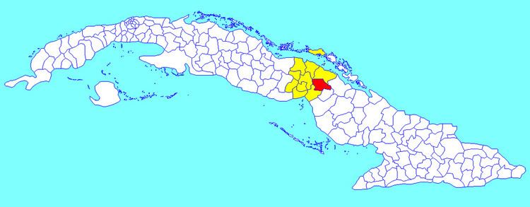
Map of Primero de Enero, Cuba
Geography
Located in the eastern side of its province, it borders with the municipalities of Esmeralda, Céspedes (both in Camagüey Province), Baraguá, Ciro Redondo, Morón (30 km far) and Bolivia. The town is 57 km far from Ciego de Ávila, 73 from Florida, and 112 from Camagüey. The municipal territory includes the villages as Corea, El Canario, La Victoria, Pablo, San Martín, and Velasco.
Demographics
In 2004, the municipality of Primero de Enero had a population of 27,813. With a total area of 713 km2 (275 sq mi), it has a population density of 39.0/km2 (101/sq mi).