
Area 6,947 km² | Time zone EST (UTC-5) Population 422,576 (31 Dec 2010) | |
 | ||
Cayo guillermo ciego de vila province cuba best travel destination
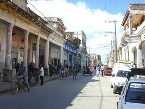
Ciego de Ávila ([ˈsjeɣo ðe ˈaβila]) is one of the provinces of Cuba, and was previously part of Camagüey Province. Its capital is Ciego de Ávila, which lies on the Carretera Central (central highway), and the second city is Morón, further north.
Contents
- Cayo guillermo ciego de vila province cuba best travel destination
- Map of Ciego de C381vila Cuba
- Geography
- Economy
- Municipalities
- Demographics
- References
Map of Ciego de %C3%81vila, Cuba
The province was separated from Camagüey Province in 1975 by the government.
Geography
Off the north coast of the province, some (cays) of the Jardines del Rey archipelago are being developed as tourist resorts, principally Cayo Coco and Cayo Guillermo. The south coast is characterised by mangroves.
Between Morón and the north coast are several lakes, including the Laguna de Leche (the Lagoon of Milk, so called for its white appearance because of large lime deposits underwater) which is the largest natural lake in Cuba.
Economy
Central Ciego de Ávila is used for cattle ranching, elsewhere in the province sugar, pineapples and citrus fruit are grown. Pineapples are the staple crop, but sweet potatoes, potatoes, yuca, plantains, and bananas are also cultivated for national consumption.
Municipalities
Source: Population from 2004 Census. Area from 1976 municipal re-distribution.
Demographics
In 2004, the province of Ciego de Ávila had a population of 416,370. With a total area of 6,783.13 km2 (2,618.98 sq mi), the province had a population density of 61.4/km2 (159/sq mi).