
Area code(s) +53-322 Elevation 75 m Population 25,707 (2004) | Time zone EST (UTC-5) Climate Aw Area 653 km² Local time Friday 7:45 AM | |
 | ||
Weather 22°C, Wind N at 3 km/h, 95% Humidity | ||
Carlos Manuel de Céspedes, also shortened as Céspedes, is a town and municipality in the Camagüey Province of Cuba. It was named for the independence fighter Carlos Manuel de Céspedes.
Contents
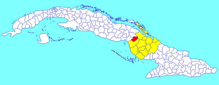
Map of Carlos Manuel de Cespedes, Cuba
Geography
It is located in the western part of the province, along the Carretera Central highway. The municipality is bordered by Florida, Esmeralda, Primero de Enero and Baraguá (both in Ciego de Ávila Province). The municipality includes some villages, such as Magarabomba.
Demographics
In 2004, the municipality of Carlos M. de Cespedes had a population of 25,707. With a total area of 653 km2 (252 sq mi), it has a population density of 39.4/km2 (102/sq mi).
Transport
Céspedes is crossed by the Carretera Central highway and counts a railway station on the Havana-Santiago de Cuba line. A planned extension of the A1 motorway that will span the entire island will interest the town.