Area code(s) +53-43 Area 588 km² Local time Sunday 4:42 PM | Time zone EST (UTC-5) Elevation 45 m Population 29,560 (2004) | |
 | ||
Weather 23°C, Wind NE at 35 km/h, 66% Humidity | ||
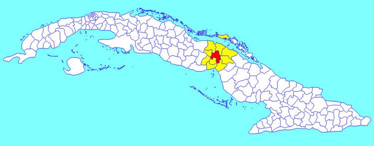
Ciro Redondo is a municipality and town in the Ciego de Ávila Province of Cuba. It is located halfway between the cities of Ciego de Ávila and Morón and was named after the Cuban revolutionary.
Contents
Map of Ciro Redondo, Cuba
Demographics
In 2004, the municipality of Ciro Redondo had a population of 29,560. With a total area of 588 km2 (227 sq mi), it has a population density of 50.3/km2 (130/sq mi).
References
Ciro Redondo Wikipedia(Text) CC BY-SA
