
Time zone EST (UTC-5) Climate Aw Area 1,480 km² Local time Tuesday 7:14 PM | Established 1928 Area code(s) +53-322 Elevation 35 m Population 29,953 (2004) | |
 | ||
Weather 23°C, Wind E at 23 km/h, 67% Humidity | ||
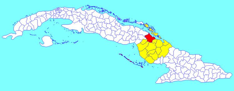
Esmeralda is a municipality and town in the Camagüey Province of Cuba.
Contents
Map of Esmeralda, Cuba
Overview
The municipality is divided into the barrios of Caonao, Guanaja, Jaronú, Quemado and Tabor.
The economy is based on crops of sugarcane, coconuts, pineapple, oranges and tobacco.
Cayo Romano, one of the cays of Jardines del Rey archipellago is located north of Esmeralda, across the Bay of la Jiguey (Bahia de Jiguey).
Demographics
In 2004, the municipality of Esmeralda had a population of 29,953. With a total area of 1,480 km2 (570 sq mi), it has a population density of 1,230/km2 (3,200/sq mi).
References
Esmeralda, Cuba Wikipedia(Text) CC BY-SA