
County Bates ZIP codes 64779, 64780 Elevation 235 m Local time Saturday 3:49 PM | Time zone CST (UTC-6) GNIS feature ID 0766305 Area 67.75 km² Population 153 (2000) | |
 | ||
Weather 12°C, Wind W at 18 km/h, 98% Humidity | ||
Prairie Township is one of twenty-four townships in Bates County, Missouri, USA. As of the 2000 census, its population was 153.
Contents
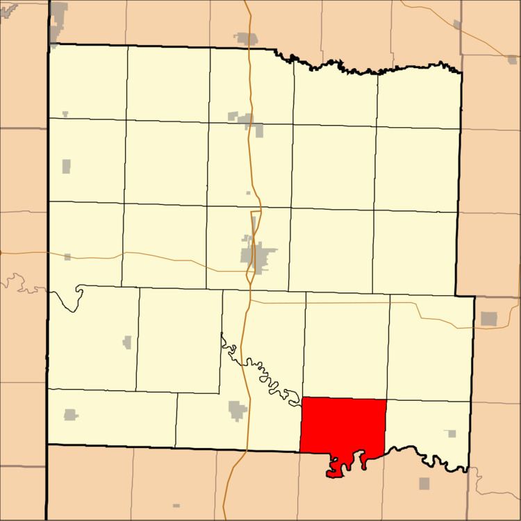
- Map of Prairie Township MO USA
- Geography
- Unincorporated towns
- Adjacent townships
- Lakes
- School districts
- Political districts
- References
Map of Prairie Township, MO, USA
The township derives its name from the community of Prairie City, Missouri.
Geography
According to the United States Census Bureau, Prairie Township covers an area of 26.16 square miles (67.77 square kilometers); of this, 25.88 square miles (67.04 square kilometers, 98.92 percent) is land and 0.28 square miles (0.73 square kilometers, 1.08 percent) is water.
Unincorporated towns
(This list is based on USGS data and may include former settlements.)
Adjacent townships
Lakes
School districts
Political districts
References
Prairie Township, Bates County, Missouri Wikipedia(Text) CC BY-SA