
County Bates ZIP codes 64724, 64730, 64780 Elevation 241 m Local time Wednesday 10:08 PM | Time zone CST (UTC-6) GNIS feature ID 0766297 Area 119.1 km² Population 229 (2000) | |
 | ||
Weather 3°C, Wind E at 3 km/h, 49% Humidity | ||
Hudson Township is one of twenty-four townships in Bates County, Missouri, USA. As of the 2000 census, its population was 229.
Contents
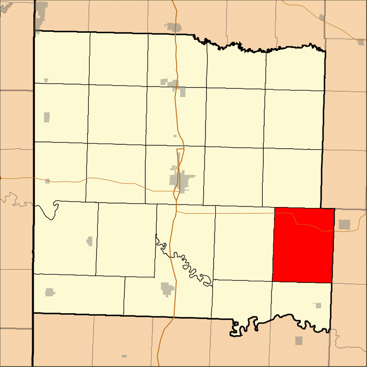
- Map of Hudson Township MO USA
- History
- Geography
- Unincorporated towns
- Adjacent townships
- Cemeteries
- Major highways
- Lakes
- School districts
- Political districts
- References
Map of Hudson Township, MO, USA
History
Hudson was named for the explorer Henry Hudson.
Geography
According to the United States Census Bureau, Hudson Township covers an area of 45.99 square miles (119.11 square kilometers); of this, 45.92 square miles (118.93 square kilometers, 99.85 percent) is land and 0.07 square miles (0.18 square kilometers, 0.15 percent) is water.
Unincorporated towns
(This list is based on USGS data and may include former settlements.)
Adjacent townships
Cemeteries
The township contains these four cemeteries: Blackwell, Meyer, Myers and Round Prairie.
Major highways
Lakes
School districts
Political districts
References
Hudson Township, Bates County, Missouri Wikipedia(Text) CC BY-SA