
County Bates ZIP codes 64730, 64779 Elevation 249 m Local time Sunday 8:48 AM | Time zone CST (UTC-6) GNIS feature ID 0766298 Area 93.14 km² Population 293 (2000) | |
 | ||
Weather -3°C, Wind E at 5 km/h, 97% Humidity | ||
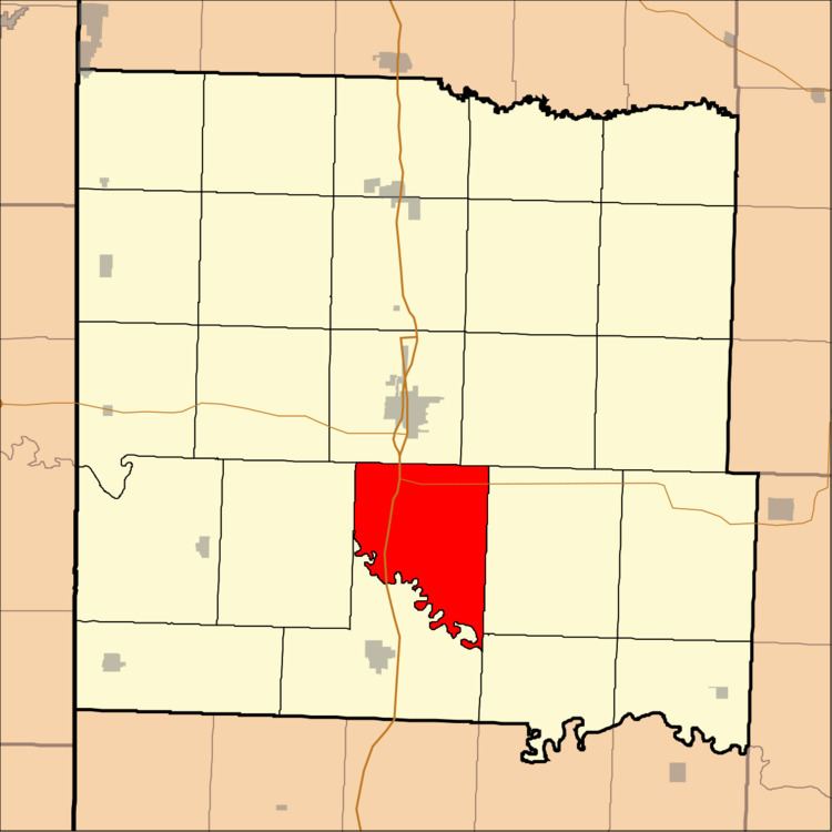
Lone Oak Township is one of twenty-four townships in Bates County, Missouri, USA. As of the 2000 census, its population was 293.
Contents
- Map of Lone Oak Township MO USA
- Geography
- Unincorporated towns
- Adjacent townships
- Cemeteries
- Major highways
- School districts
- Political districts
- References
Map of Lone Oak Township, MO, USA
The township takes its name from Lone Oak Branch creek.
Geography
According to the United States Census Bureau, Lone Oak Township covers an area of 35.96 square miles (93.15 square kilometers); of this, 35.94 square miles (93.08 square kilometers, 99.92 percent) is land and 0.03 square miles (0.07 square kilometers, 0.08 percent) is water.
Unincorporated towns
(This list is based on USGS data and may include former settlements.)
Adjacent townships
Cemeteries
The township contains Fairview Cemetery.
Major highways
School districts
Political districts
References
Lone Oak Township, Bates County, Missouri Wikipedia(Text) CC BY-SA