
County Bates ZIP codes 64724, 64780 Elevation 229 m Local time Tuesday 12:20 AM | Time zone CST (UTC-6) GNIS feature ID 0766306 Area 65.19 km² Population 271 (2000) | |
 | ||
Weather 17°C, Wind NE at 19 km/h, 54% Humidity | ||
Rockville Township is one of twenty-four townships in Bates County, Missouri, USA. As of the 2000 census, its population was 271.
Contents
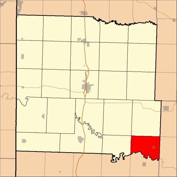
- Map of Rockville Township MO USA
- Geography
- Cities towns villages
- Adjacent townships
- Cemeteries
- Airports and landing strips
- Lakes
- School districts
- Political districts
- References
Map of Rockville Township, MO, USA
Rockville Township was established in 1872, taking its name from Rockville, Missouri.
Geography
According to the United States Census Bureau, Rockville Township covers an area of 25.17 square miles (65.19 square kilometers); of this, 24.67 square miles (63.89 square kilometers, 98.01 percent) is land and 0.5 square miles (1.3 square kilometers, 1.99 percent) is water.
Cities, towns, villages
Adjacent townships
Cemeteries
The township contains Rockville Cemetery.
Airports and landing strips
Lakes
School districts
Political districts
References
Rockville Township, Bates County, Missouri Wikipedia(Text) CC BY-SA