
County Bates ZIP codes 64724, 64730, 64779 Elevation 250 m Local time Tuesday 3:44 PM | Time zone CST (UTC-6) GNIS feature ID 0766304 Area 118.2 km² Population 264 (2000) | |
 | ||
Weather 16°C, Wind NE at 32 km/h, 49% Humidity | ||
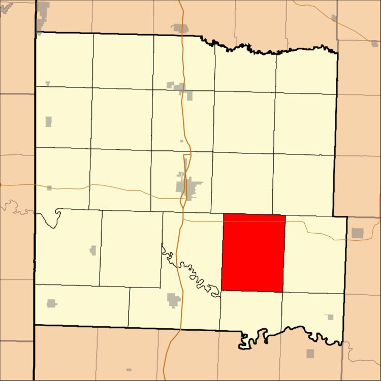
Pleasant Gap Township is one of twenty-four townships in Bates County, Missouri, USA. As of the 2000 census, its population was 264.
Contents
- Map of Pleasant Gap Township MO USA
- Geography
- Unincorporated towns
- Adjacent townships
- Cemeteries
- Major highways
- Airports and landing strips
- School districts
- Political districts
- References
Map of Pleasant Gap Township, MO, USA
The township took its name from the community of Pleasant Gap, Missouri.
Geography
According to the United States Census Bureau, Pleasant Gap Township covers an area of 45.64 square miles (118.22 square kilometers); of this, 45.61 square miles (118.12 square kilometers, 99.92 percent) is land and 0.04 square miles (0.1 square kilometers, 0.08 percent) is water.
Unincorporated towns
(This list is based on USGS data and may include former settlements.)
Adjacent townships
Cemeteries
The township contains Rogers Cemetery.
Major highways
Airports and landing strips
School districts
Political districts
References
Pleasant Gap Township, Bates County, Missouri Wikipedia(Text) CC BY-SA