
County Bates ZIP codes 64730, 64779 Elevation 238 m Local time Monday 3:48 AM | Time zone CST (UTC-6) GNIS feature ID 0766303 Area 116.2 km² Population 1,837 (2000) | |
 | ||
Weather 10°C, Wind NE at 18 km/h, 100% Humidity | ||
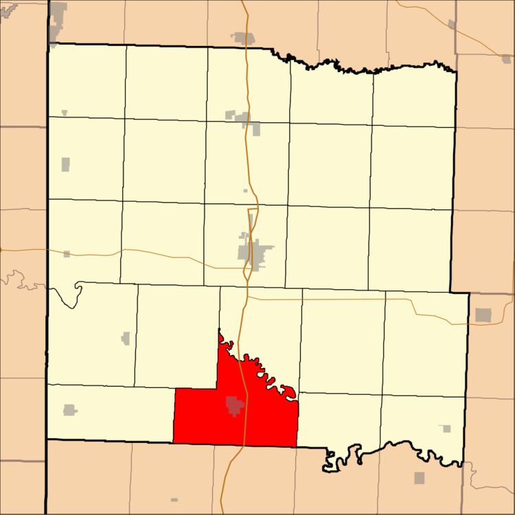
Osage Township is one of twenty-four townships in Bates County, Missouri, USA. As of the 2000 census, its population was 1,837.
Contents
- Map of Osage Township MO USA
- Geography
- Cities towns villages
- Adjacent townships
- Cemeteries
- Major highways
- Airports and landing strips
- School districts
- Political districts
- References
Map of Osage Township, MO, USA
The township takes its name from the Osage River.
Geography
According to the United States Census Bureau, Osage Township covers an area of 44.86 square miles (116.17 square kilometers); of this, 44.73 square miles (115.84 square kilometers, 99.72 percent) is land and 0.13 square miles (0.33 square kilometers, 0.28 percent) is water.
Cities, towns, villages
Adjacent townships
Cemeteries
The township contains these two cemeteries: Fairview Rider and Greenlawn.
Major highways
Airports and landing strips
School districts
Political districts
References
Osage Township, Bates County, Missouri Wikipedia(Text) CC BY-SA