
 | ||
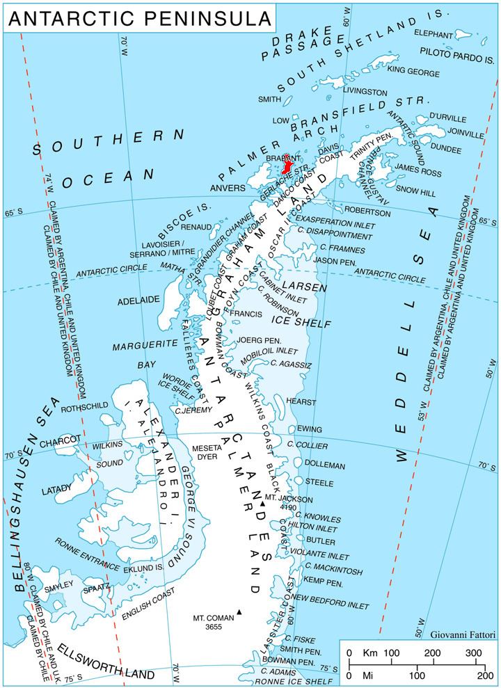
Podayva Glacier (Bulgarian: ледник Подайва, ‘Lednik Podayva’ \'led-nik po-'day-va) is the 4.5 km long and 3 km wide glacier on Pasteur Peninsula, Brabant Island in the Palmer Archipelago, Antarctica, situated northeast of Dodelen Glacier and west of Burevestnik Glacier. It drains the north slopes of Stribog Mountains, flows northwards and enters the sea east of Cape Roux and west of Marinka Point.
Contents
The glacier is named after the settlement of Podayva in Northeastern Bulgaria.
Location
Podayva Glacier is centred at 64°02′25″S 62°25′30″W. British mapping in 1980 and 2008.
Maps
References
Podayva Glacier Wikipedia(Text) CC BY-SA