
 | ||
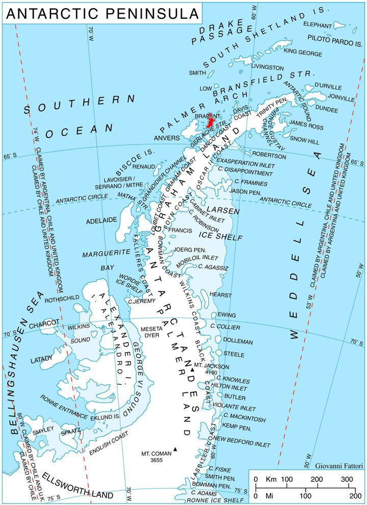
Burevestnik Glacier (Bulgarian: ледник Буревестник, ‘Lednik Burevestnik’ \'led-nik bu-re-'vest-nik) is the 4.2 km long and 3.5 km wide glacier on Pasteur Peninsula, Brabant Island in the Palmer Archipelago, Antarctica, situated east of Podayva Glacier and north of Lister Glacier. It drains the north slopes of Stribog Mountains, flows northeastwards and enters the sea east of Marinka Point and northwest of Levenov Point.
Contents
The glacier is named after the Bulgarian ocean fishing trawler Burevestnik, which operated under Captain Nikola Levenov in Antarctic waters off Kerguelen Islands from December 1974 to February 1975.
Location
Burevestnik Glacier is centred at 64°02′20″S 62°21′00″W. British mapping in 1980 and 2008.
Maps
References
Burevestnik Glacier Wikipedia(Text) CC BY-SA