Supriya Ghosh (Editor)

Marinka Point

Updated on
Edit
Like
Comment
Share on FacebookTweet on TwitterShare on LinkedInShare on Reddit
Marinka Point

Marinka Point (Bulgarian: нос Маринка, ‘Nos Marinka’ \'nos ma-'rin-ka) is the narrow rocky point projecting 400 m from the north coast of Pasteur Peninsula and forming the north extremity of Brabant Island in the Palmer Archipelago, Antarctica.

Contents

The point is named after the settlement of Marinka in Southeastern Bulgaria.

Location

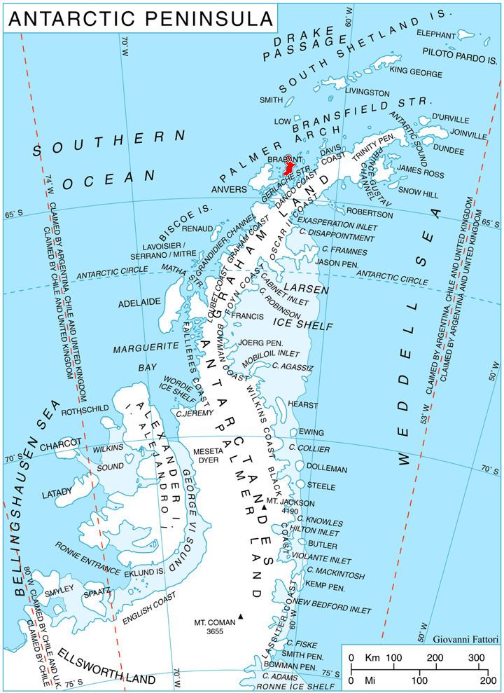
Marinka Point is located at 64°00′27″S 62°23′23″W, which is 4.5 km east by north of Cape Roux and 4.3 km west by north of Cape Cockburn. British mapping in 1980 and 2008.

Maps

  • Antarctic Digital Database (ADD). Scale 1:250000 topographic map of Antarctica. Scientific Committee on Antarctic Research (SCAR). Since 1993, regularly upgraded and updated.
  • British Antarctic Territory. Scale 1:200000 topographic map. DOS 610 Series, Sheet W 64 62. Directorate of Overseas Surveys, Tolworth, UK, 1980.
  • Brabant Island to Argentine Islands. Scale 1:250000 topographic map. British Antarctic Survey, 2008.
  • References

    Marinka Point Wikipedia