
 | ||
Dodelen Glacier (Bulgarian: ледник Доделен, ‘Lednik Dodelen’ \'led-nik 'do-de-len) is the 3.6 km long and 2.8 km wide glacier on Pasteur Peninsula, Brabant Island in the Palmer Archipelago, Antarctica, situated southwest of Podayva Glacier, northwest of Lister Glacier and north of Oshane Glacier. It drains the west slopes of Mount Hunter in Stribog Mountains, and flows westwards into Guyou Bay.
Contents
The glacier is named after Dodelen River in eastern Balkan Mountains.
Location
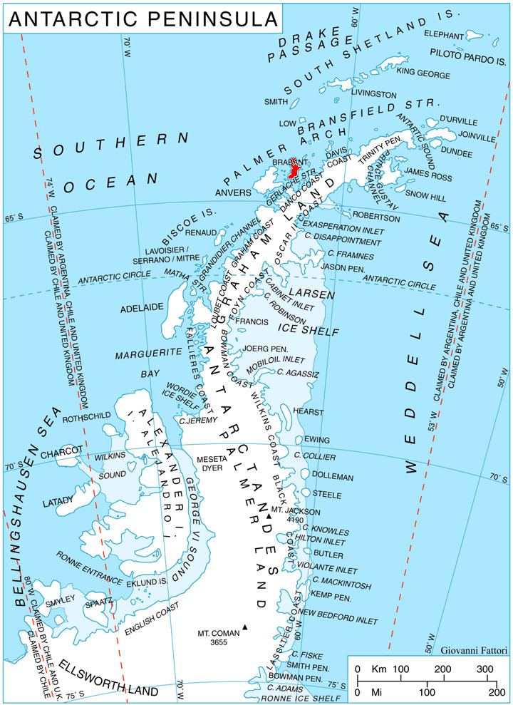
Dodelen Glacier is centred at 64°04′00″S 62°29′00″W. British mapping in 1980 and 2008.
Maps
References
Dodelen Glacier Wikipedia(Text) CC BY-SA