
Country United States Elevation 252 m Local time Tuesday 5:21 PM | GNIS feature ID 0453745 Area 90.93 km² Population 6,797 (2010) | |
 | ||
Weather 11°C, Wind NW at 27 km/h, 42% Humidity University Indiana Business College-Marion | ||
Pleasant Township is one of thirteen townships in Grant County, Indiana, United States. As of the 2010 census, its population was 6,797 and it contained 3,166 housing units.
Contents
- Map of Pleasant Township IN USA
- History
- Geography
- Cities and towns
- Unincorporated towns
- Adjacent townships
- Cemeteries
- Major highways
- References
Map of Pleasant Township, IN, USA
History
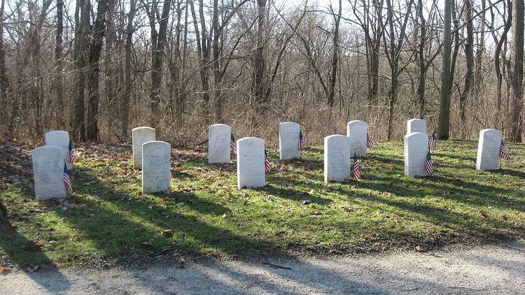
The Meshingomesia Cemetery and Indian School Historic District was listed on the National Register of Historic Places in 2013.
Geography
According to the 2010 census, the township has a total area of 35.11 square miles (90.9 km2), of which 34.83 square miles (90.2 km2) (or 99.20%) is land and 0.28 square miles (0.73 km2) (or 0.80%) is water. The stream of Jocinah Creek runs through this township.
Cities and towns
Unincorporated towns
(This list is based on USGS data and may include former settlements.)
Adjacent townships
Cemeteries
The township contains two cemeteries: Maple Grove and Meshingomesia.
Major highways
References
Pleasant Township, Grant County, Indiana Wikipedia(Text) CC BY-SA