
County Grant ZIP code 46952 Elevation 248 m Population 171 (2010) | State Indiana FIPS code 18-37674 Area 8.2 km² Local time Saturday 12:38 PM | |
 | ||
Weather 3°C, Wind NW at 26 km/h, 85% Humidity | ||
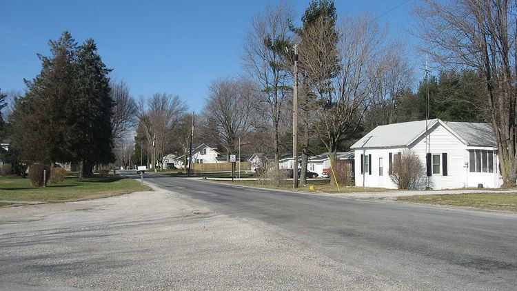
Jalapa is an unincorporated community and census-designated place (CDP) in Pleasant Township, Grant County, Indiana, United States. As of the 2010 census it had a population of 171. The site of the Battle of the Mississinewa, fought during the War of 1812, is nearby.
Contents
Map of Jalapa, Pleasant Township, IN 46952, USA
History
The first post office in Jalapa, called "Dallas", operated from 1848 until 1849. The post office was renamed "Jalapa" in 1849, and remained in operation until it was discontinued in 1900. The community was named after Jalapa, in Mexico.
Geography
Jalapa is located in northwestern Grant County at 40°37′40″N 85°44′44″W, on high ground just southwest of the Mississinewa River, a northwest-flowing tributary of the Wabash River. Jalapa is 7 miles (11 km) northwest of Marion, the Grant County seat.
According to the U.S. Census Bureau, the Jalapa CDP has an area of 3.2 square miles (8.2 km2), all of it land.