
Country United States Elevation 257 m Local time Thursday 7:39 AM | GNIS feature ID 0453302 Area 93.42 km² Population 7,211 (2010) | |
 | ||
Weather -8°C, Wind W at 10 km/h, 81% Humidity | ||
Franklin Township is one of thirteen townships in Grant County, Indiana, United States. As of the 2010 census, its population was 7,211 and it contained 3,553 housing units.
Contents
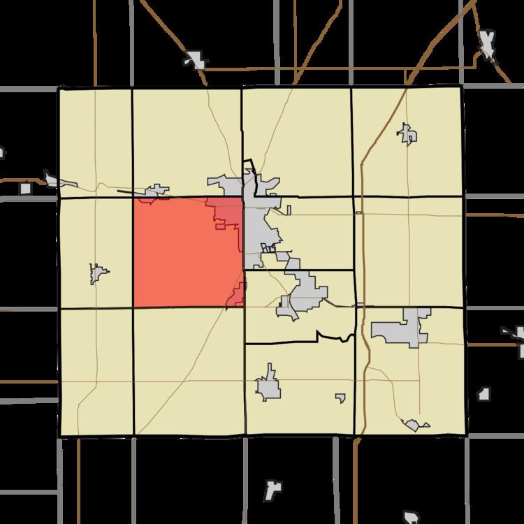
- Map of Franklin Township IN USA
- Geography
- Cities and towns
- Unincorporated towns
- Adjacent townships
- Cemeteries
- Major highways
- Airports and landing strips
- References
Map of Franklin Township, IN, USA
Geography
According to the 2010 census, the township has a total area of 36.07 square miles (93.4 km2), of which 36.06 square miles (93.4 km2) (or 99.97%) is land and 0.01 square miles (0.026 km2) (or 0.03%) is water. Lakes in this township include Crane Pond. The stream of Bell Creek runs through this township.
Cities and towns
Unincorporated towns
(This list is based on USGS data and may include former settlements.)
Adjacent townships
Cemeteries
The township contains two cemeteries: Grant Memorial Park and Rowland.
Major highways
Airports and landing strips
References
Franklin Township, Grant County, Indiana Wikipedia(Text) CC BY-SA