
Country United States Elevation 262 m Local time Wednesday 4:05 AM | GNIS feature ID 0453849 Area 62.37 km² Population 1,779 (2010) | |
 | ||
Weather -1°C, Wind N at 19 km/h, 67% Humidity | ||
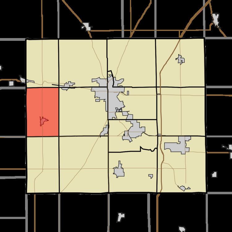
Sims Township is one of 13 townships in Grant County, Indiana, United States. As of the 2010 census, its population was 1,779 and it contained 757 housing units.
Contents
- Map of Sims Township IN USA
- Geography
- Cities and towns
- Unincorporated towns
- Adjacent townships
- Cemeteries
- Major highways
- References
Map of Sims Township, IN, USA
Geography
According to the 2010 census, the township has a total area of 24.08 square miles (62.4 km2), all land. The stream of Stoney Creek runs through this township.
Cities and towns
Unincorporated towns
(This list is based on USGS data and may include former settlements.)
Adjacent townships
Cemeteries
The township contains two cemeteries: Alel and Thraikill.
Major highways
References
Sims Township, Grant County, Indiana Wikipedia(Text) CC BY-SA