
Existed: 1926 – present Constructed 1926 | Length 278.4 km | |
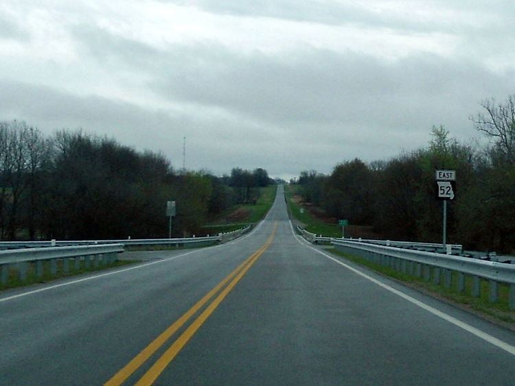 | ||
Route 52 is an east/west highway running from its eastern terminus at Route 133 7 miles (11 km) east of St. Elizabeth to the Kansas state line where it continues as K-52 (this road continues for 23 additional miles). Highway 52 comprises 173 miles (278 km) of primarily two-lane roadway in Missouri.
Map of MO-52, Missouri, USA
Route 52 was formerly Route 24 between Eldon and the Kansas state line. The numbering change was to avoid duplication with the new U.S. Route 24 which came through Missouri in 1926.
References
Missouri Route 52 Wikipedia(Text) CC BY-SA