
Country United States CSA Greater Sacramento Population 367,309 (2013) Colleges and Universities Sierra College | Incorporated April 25, 1851 Area 3,890 km² | |
 | ||
Area codes Area code 530, Area code 916 Points of interest Lake Tahoe, Northstar California, Sierra Nevada, Lake Clementine, Donner Pass Destinations | ||
Placer County (/ˈplæsər/ PLAS-ər), officially the County of Placer, is a county located in the U.S. state of California. As of the 2010 census, the population was 348,432. The county seat is Auburn.
Contents
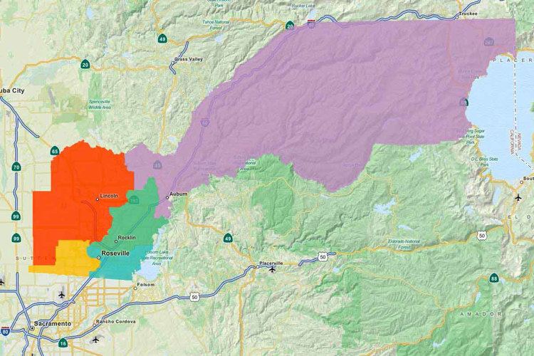
- Map of Placer County CA USA
- Etymology
- History
- Geography
- National protected areas
- 2010
- 2000
- Overview
- Crime
- Top employers
- mPOWER Placer
- Major highways
- Public transportation
- Airports
- Cities
- Towns
- Other communities
- Ghost town
- Population ranking
- References
Map of Placer County, CA, USA
Placer County is included in the Sacramento-Roseville-Arden-Arcade, CA Metropolitan Statistical Area. It is located in both the Sacramento Valley and Sierra Nevada regions, in what is known as the Gold Country. It stretches from the suburbs of Sacramento to Lake Tahoe and the Nevada border.
Etymology
The discovery of gold in 1848 brought tens of thousands of miners from around the world, in addition to many more thousands intending to provide goods and services to the miners. Only three years after the discovery of gold, the fast-growing county was formed from portions of Sutter and Yuba counties on April 25, 1851 with Auburn as the county seat. Placer County took its name from the Spanish word for sand or gravel deposits containing gold. Miners washed away the gravel, leaving the heavier gold, in a process known as "placer mining".
History
Gold mining was a major industry through the 1880s, but gradually the new residents turned to farming the fertile foothill soil, harvesting timber and working for the Southern Pacific Railroad. Auburn was settled when Claude Chana discovered gold in Auburn Ravine in May 1848 and later became a shipping and supply center for the surrounding gold camps. The cornerstone of Placer's beautiful and historic courthouse, which is clearly visible from Interstate 80 through Auburn, was laid on July 4, 1894. The building itself was renovated during the late 1980s and continues to serve the public today with courtrooms, a historic sheriff's office and the Placer County Museum. Roseville, once a small agricultural center, became a major railroad center and grew to the county's most populous city after Southern Pacific Railroad moved its railroad switching yards there in 1908.
Loomis and Newcastle began as mining towns, but soon became centers of a booming fruit-growing industry, supporting many local packing houses. Penryn was founded by a Welsh miner, Griffith Griffith, who turned from mining to establish a large granite quarry. Rocklin began as a railroad town and became home to a number of granite quarries. Lincoln and Sheridan continue to support ranching and farming. Lincoln also is the home of one of the county's oldest businesses, the Gladding, McBean terra cotta clay manufacturing plant established in 1875.
The 1960 Winter Olympics were hosted in Squaw Valley, which is located in Placer County.
Geography
According to the U.S. Census Bureau, the county has a total area of 1,502 square miles (3,890 km2), of which 1,407 square miles (3,640 km2) is land and 95 square miles (250 km2) (6.4%) is water. Watercourses in Placer County include the American River and Bunch Creek. Lake Tahoe has 40.96% of its surface area in Placer County, more than in any of the four other counties in which it lies.
National protected areas
2010
The 2010 United States Census reported that Placer County had a population of 348,432. The racial makeup of Placer County was 290,977 (83.5%) White, 4,751 (1.4%) African American, 3,011 (0.9%) Native American, 20,435 (5.9%) Asian, 778 (0.2%) Pacific Islander, 13,375 (3.8%) from other races, and 15,105 (4.3%) from two or more races. Hispanic or Latino of any race were 44,710 persons (12.8%).
2000
As of the census of 2000, there were 248,399 people, 93,382 households, and 67,701 families residing in the county. The population density was 177 people per square mile (68/km²). There were 107,302 housing units at an average density of 76 per square mile (30/km²). The racial makeup of the county was 88.6% White, 0.8% Black or African American, 0.9% Native American, 3.0% Asian, 0.2% Pacific Islander, 3.4% from other races, and 3.2% from two or more races. 9.7% of the population were Hispanic or Latino of any race. 15.5% were of German, 12.3% English, 10.6% Irish, 7.1% Italian and 7.0% American ancestry according to Census 2000. 89.7% spoke only English at home; 6.0% spoke Spanish.
There were 93,382 households out of which 35.3% had children under the age of 18 living with them, 59.4% were married couples living together, 9.2% had a female householder with no husband present, and 27.5% were non-families. 21.3% of all households were made up of individuals and 8.1% had someone living alone who was 65 years of age or older. The average household size was 2.63 and the average family size was 3.06.
In the county, the population was spread out with 26.5% under the age of 18, 6.9% from 18 to 24, 29.00% from 25 to 44, 24.5% from 45 to 64, and 13.1% who were 65 years of age or older. The median age was 38 years. For every 100 females there were 96.4 males. For every 100 females age 18 and over, there were 93.9 males.
The median income for a household in the county was $57,535, and the median income for a family was $65,858 (these figures had risen to $68,463 and $80,987 respectively as of a 2007 estimate). Males had a median income of $50,410 versus $33,763 for females. The per capita income for the county was $27,963. About 3.9% of families and 5.8% of the population were below the poverty line, including 6.3% of those under age 18 and 3.8% of those age 65 or over. Unemployment in the county is just under 7% which is considerably lower than the state's average.
Overview
In its early history Placer County was solidly Republican: it voted Republican in every election between 1860 and 1912, when Bull Moose nominee Theodore Roosevelt was California’s official Republican nominee. Between 1916 and 1976, however, the county voted Republican only in three landslide elections of 1920, 1952 and 1972 – in all of which its GOP margins were much smaller than for the state or nation. Since the “Reagan Revolution” Placer County has become and remained a stronghold of the Republican Party; it consistently elects Republican public officials and has voted for presidential candidates from the party in every election since 1980.
In the United States House of Representatives, Placer County is split between California’s 1st and 4th congressional districts, represented by Doug LaMalfa (R–Richvale) and Tom McClintock (R–Elk Grove), respectively.
In the California State Senate, Placer County is split between the 1st and 4th districts, represented by Ted Gaines and Jim Nielsen, respectively.
In the California State Assembly, the county is split between the 1st, 5th, and 6th districts, represented by Brian Dahle, Frank Bigelow, and Kevin Kiley, respectively.
Crime
The following table includes the number of incidents reported and the rate per 1,000 persons for each type of offense.
Top employers
According to the County's 2010 Comprehensive Annual Financial Report, the top employers in the county are:
mPOWER Placer
mPOWER Placer is Placer County’s Property Assessed Clean Energy (PACE) program. It provides financing to commercial, industrial, agricultural and multifamily property owners to install energy efficiency, water conservation and renewable energy retrofits. The program, administered by the Placer County Treasurer-Tax Collector’s Office, was approved by the Board of Supervisors on February 9, 2010 and launched on March 22, 2010 and is open to eligible Placer County property owners.
Major highways
Public transportation
Airports
There are three general aviation airports in Placer County:
The closest commercial airport is Sacramento International Airport in Sacramento.
Cities
Towns
Other communities
Ghost town
Population ranking
The population ranking of the following table is based on the 2010 census of Placer County.
† county seat