Airport type Public Code AUN Phone +1 530-888-8174 | Owner/Operator City of Auburn Elevation AMSL 1,536 ft / 468 m Elevation 468 m | |
 | ||
Location 3 mi (5 km) North of downtown Website Auburn Municipal Airport... Address 13666 New Airport Rd, Auburn, CA 95602, USA | ||
Auburn Municipal Airport (IATA: AUN, ICAO: KAUN, FAA LID: AUN) is a public airport located three miles (5 km) north of Auburn, serving Placer County, California, USA. The airport is mostly used for general aviation.
The City of Auburn owns and operates the airport. The federal government built the airport in 1934 and used it to support mail service until 1946. In 1947, local residents worked to transfer the airport to the city from the federal government and private land owners.
Services include air ambulance, aviation fuel, flight instruction, private charters & rentals, repairs & maintenance, a restaurant, and scenic tours. Private businesses provide these services.
On 30 August 2009, a wildfire named the 49 Fire started southwest of the airport and spread north and east. The fire forced officials to close the airport for a couple days. The fire burned 343 acres (1.39 km2) including the airport's western portion (right up to the runway).
Facilities
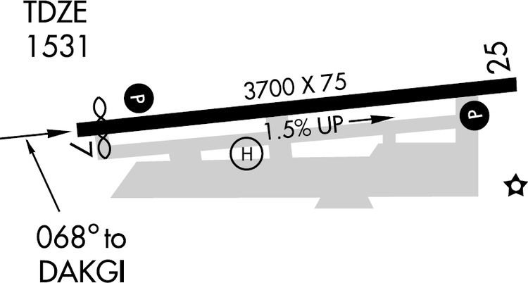
Auburn Municipal Airport covers 285 acres (115 ha) and has one runway:
The City owns 285 acres (115 ha) around the airport. The airport occupies 205 acres (83 ha). An industrial park fills the remaining 80 acres (32 ha).
