
Elevation 4,634 m | Passes Moosalp | |
 | ||
Mountains Similar Alps, Matterhorn, Monte Rosa Massif, Monte Rosa (Dufourspitze), Weisshorn | ||
The pennine alps
The Pennine Alps (German: Walliser Alpen, French: Alpes Pennines, Italian: Alpi Pennine), also known as the Valais Alps, and formerly called Alpes Poeninae, are a mountain range in the western part of the Alps. They are located in Switzerland (Valais) and Italy (Piedmont and the Aosta Valley).
Contents
- The pennine alps
- Map of Pennine Alps 3906 Saas Fee Switzerland
- Climb to margherita hut signalkuppe pennine alps
- GeographyEdit
- MorphologyEdit
- GlaciersEdit
- PassesEdit
- Nature conservationEdit
- MapsEdit
- References
Map of Pennine Alps, 3906 Saas Fee, Switzerland
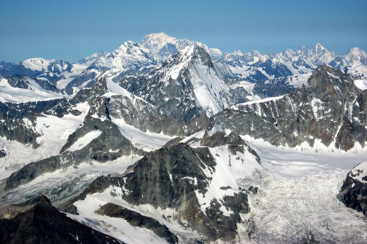
Climb to margherita hut signalkuppe pennine alps
GeographyEdit
The Italian side is drained by the rivers Dora Baltea, Sesia and Toce, tributaries of the Po. The Swiss side is drained by the Rhône.
The Great St Bernard Tunnel, under the Great St Bernard Pass, leads from Martigny, Switzerland to Aosta.
MorphologyEdit
The main chain (watershed between the Mediterranean Sea and Adriatic Sea) runs from west to east on the border between Italy (south) and Switzerland (north). From Mont Vélan, the first high summit east of St Bernard Pass, the chain rarely goes below 3000 metres and contains many four-thousanders such as Matterhorn or Monte Rosa. The valleys are quite similar on both side of the border, being generally oriented perpendicular to the main chain and descending progressively into the Rhône Valley on the north and the Aosta Valley on the south. Unlike many other mountain ranges, the higher peaks are often located outside the main chain and found themselves between the northern valleys (Grand Combin, Weisshorn, Mischabel, Weissmies).
The chief peaks of the Pennine Alps are:
GlaciersEdit
Main glaciers:
PassesEdit
The chief passes of the Pennine Alps are:
Nature conservationEdit
Some regional nature parks, like the Parco Naturale Alta Valsesia (6,511 ha - Piedmont, IT), the Riserva Naturale Mont Mars (390 ha - Aosta Valley, IT) and the Regional park of Binn valley (15,891 ha - Valais,CH), have been established on both sides of the main water divide.