
Country United States GNIS feature ID 453707 Local time Friday 10:07 AM | FIPS code 18-58284 Elevation 216 m Population 1,579 (2010) | |
 | ||
Weather 17°C, Wind S at 16 km/h, 63% Humidity Area 118.2 km² (113.1 km² Land / 5.18 km² Water) | ||
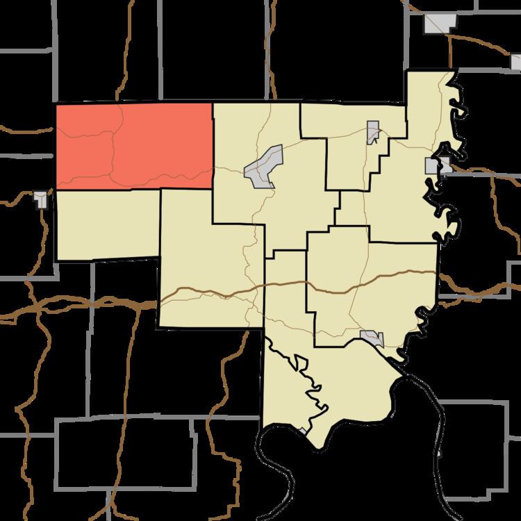
Patoka Township is one of nine townships in Crawford County, Indiana. As of the 2010 census, its population was 1,579 and it contained 1,076 housing units.
Contents
- Map of Patoka Township IN USA
- Geography
- Unincorporated towns
- Adjacent townships
- Major highways
- Cemeteries
- References
Map of Patoka Township, IN, USA
Geography
According to the 2010 census, the township has a total area of 45.65 square miles (118.2 km2), of which 43.65 square miles (113.1 km2) (or 95.62%) is land and 2 square miles (5.2 km2) (or 4.38%) is water.
Unincorporated towns
(This list is based on USGS data and may include former settlements.)
Adjacent townships
Major highways
Cemeteries
The township contains four cemeteries: Brown, Eckerty, Mount Eden and Williams.
References
Patoka Township, Crawford County, Indiana Wikipedia(Text) CC BY-SA