
County Crawford GNIS feature ID 451541 Zip code 47175 | State Indiana Elevation 237 m Local time Monday 3:49 AM | |
 | ||
Weather 8°C, Wind E at 0 km/h, 100% Humidity | ||
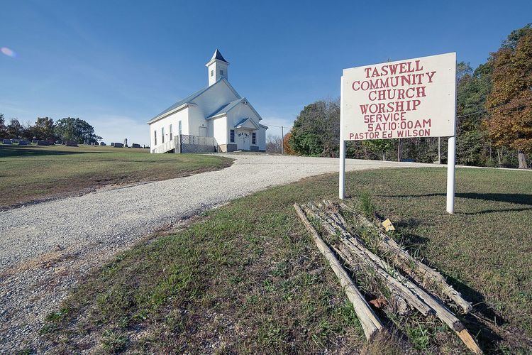
Taswell is an unincorporated community in Patoka Township, Crawford County, Indiana, located on State Road 64 west of the county seat of English.
Contents
Map of Taswell, IN 47175, USA
History
A post office was established at Taswell in 1882, and remained in operation until it was discontinued in 1996. It was intended that the community be named for the Laswell family of settlers, but when the postal authorities misspelled the name Taswell, the new name stuck.
Geography
Taswell is located at 38°20′05″N 86°33′40″W.
References
Taswell, Indiana Wikipedia(Text) CC BY-SA