
Country United States FIPS code 18-73016 Elevation 155 m Population 1,635 (2010) | GNIS feature ID 453873 Local time Monday 3:00 PM | |
 | ||
Weather 17°C, Wind SE at 13 km/h, 77% Humidity Area 125.5 km² (125.4 km² Land / 18 ha Water) Points of interest Hoosier National Forest, Clayton Roberson Family Fo, Hilands Overlook State Park | ||
Sterling Township is one of nine townships in Crawford County, Indiana. As of the 2010 census, its population was 1,635 and it contained 860 housing units.
Contents
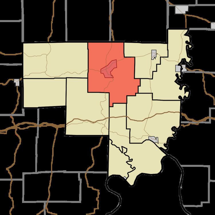
- Map of Sterling Township IN USA
- Geography
- Cities and towns
- Unincorporated towns
- Adjacent townships
- Major highways
- Cemeteries
- References
Map of Sterling Township, IN, USA
Geography
According to the 2010 census, the township has a total area of 48.47 square miles (125.5 km2), of which 48.41 square miles (125.4 km2) (or 99.88%) is land and 0.07 square miles (0.18 km2) (or 0.14%) is water. Bluegill Pond and Grant Lake are in this township.
Cities and towns
Unincorporated towns
(This list is based on USGS data and may include former settlements.)
Adjacent townships
Major highways
Cemeteries
The township contains nine cemeteries: Cunningham, Denbo, Grant, Hamilton, Land, Purkhiser, Seton, Sloan and Stewart.
References
Sterling Township, Crawford County, Indiana Wikipedia(Text) CC BY-SA