
Elevation 205 m Local time Thursday 9:17 PM | GNIS feature ID 0453352 Area 111.7 km² Population 730 (2010) | |
 | ||
ZIP codes 47118, 47140, 47175, 47432, 47454 Weather 16°C, Wind W at 8 km/h, 50% Humidity | ||
Greenfield Township is one of ten townships in Orange County, Indiana, United States. As of the 2010 census, its population was 730 and it contained 530 housing units.
Contents
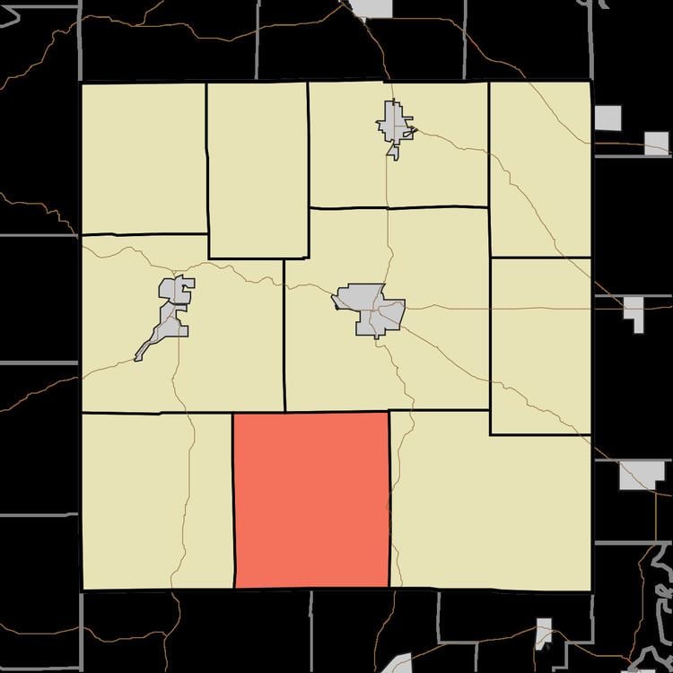
- Map of Greenfield Township IN USA
- Geography
- Unincorporated towns
- Major highways
- Lakes
- School districts
- Political districts
- References
Map of Greenfield Township, IN, USA
Geography
According to the 2010 census, the township has a total area of 43.14 square miles (111.7 km2), of which 41.22 square miles (106.8 km2) (or 95.55%) is land and 1.92 square miles (5.0 km2) (or 4.45%) is water.
Unincorporated towns
(This list is based on USGS data and may include former settlements.)
Major highways
Lakes
School districts
Political districts
References
Greenfield Township, Orange County, Indiana Wikipedia(Text) CC BY-SA