
Country United States GNIS feature ID 453511 Area 62.55 km² Population 484 (2010) | FIPS code 18-38646 Elevation 167 m Local time Monday 1:53 AM | |
 | ||
Weather 1°C, Wind NE at 10 km/h, 45% Humidity | ||
Johnson Township is one of nine townships in Crawford County, Indiana. As of the 2010 census, its population was 484 and it contained 225 housing units.
Contents
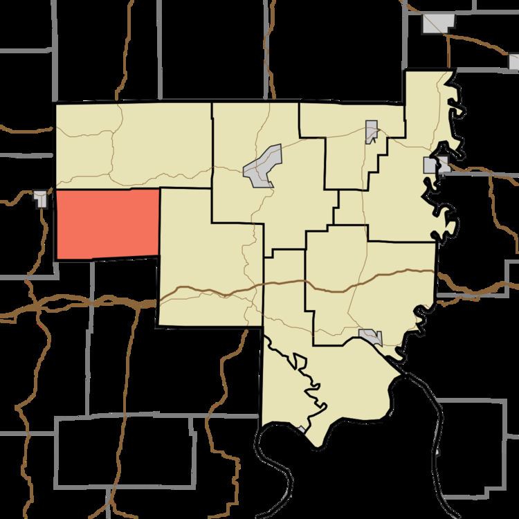
Map of Johnson Township, IN, USA
Geography
According to the 2010 census, the township has a total area of 24.15 square miles (62.5 km2), all land.
Unincorporated towns
(This list is based on USGS data and may include former settlements.)
Adjacent townships
Cemeteries
The township contains four cemeteries: Blunk, Davis, Gilmore and Potter.
References
Johnson Township, Crawford County, Indiana Wikipedia(Text) CC BY-SA