
Length 100.8 km | Constructed 1920 | |
 | ||
Existed: February 26, 1920 – present | ||
Accident on highway 401 ontario
King's Highway 4, also known as Highway 4, is a provincially maintained highway in the Canadian province of Ontario. Originally much longer than its present 100.8 km (62.6 mi) length, more than half of Highway 4 was transferred to the responsibility of local governments in 1998. In its present form, it travels between Highway 3 in Talbotville Royal, north-west of St. Thomas, and Highway 8 in Clinton.
Contents
- Accident on highway 401 ontario
- Map of ON 4 Ontario Canada
- Route description
- History
- Major intersections
- References
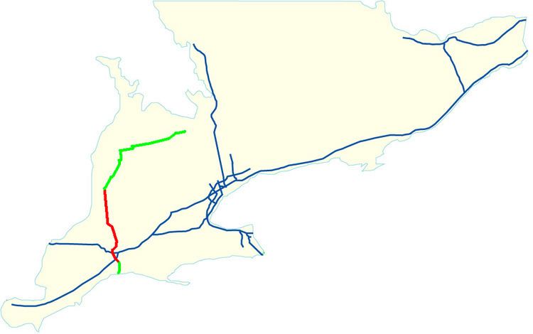
Map of ON-4, Ontario, Canada
Highway 4 was first designated in 1920, when a 27 km (17 mi) route between Talbotville Royal and Elginfield was assumed by the Department of Highways. Over the next half century it was extended north and east to Highway 24 near Singhampton, and south to Port Stanley.
Route description
In its present form, Highway 4 travels through Talbotville Royal, Tempo, Scottsville, Lambeth, London, Northcrest, Uplands, Arva, Birr, Elginfield, Lucan, Clandeboye, Mooresville, Centralia, Exeter, Hay, Hensall, Kippen, Brucefield, Vanastra, and Clinton.
Highway 4 travels through the following municipalities: Southwold Township, London, Middlesex Centre Township, Lucan Biddulph Township, North Middlesex, South Huron, Bluewater, and Central Huron.
As of April 2008, Highway 4 officially does not exist within the City of London except south of Glanworth Drive, but instead is now signed with green "TO 4" trailblazer crown signs. The City was considering alternate routes for Highway 4 through the city in the early 2000s but this never materialized. Further north in Clinton, Highway 4 ends at the southern limits, though it remains signed.
History
The King's Highway 4 was originally designated in 1920 when the provincial government assumed the road running from Talbotville Royal to Elginfield through London. In 1927, the highway was further extended with the assumption of the road from Elginfield to Clinton. In the 1930s, the highway was again extended as far north as the intersection of Highway 10 in Flesherton, and south to Edith Cavell Boulevard in Port Stanley. In the 1970s, Highway 4 reached its maximum length when it was extended from Flesherton to Singhampton. However, in 1998, the Mike Harris government, seeking to balance the provincial budget, off-loaded responsibility for the Clinton–Singhampton and Talbotville-Port Stanley sections of Highway 4—almost 65% of its total length—back onto municipal governments.
Major intersections
The following table lists the major junctions along Highway 4, as noted by the Ministry of Transportation of Ontario.