
Existed: 1920 – present Length 138.5 km | Constructed 1920 | |
 | ||
Towns Goderich, Clinton, Ontario | ||
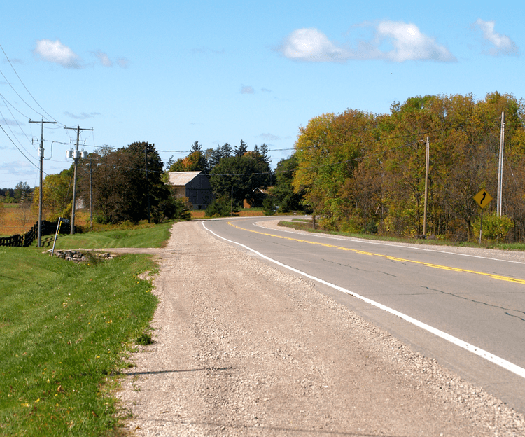
King's Highway 8, commonly referred to as Highway 8, is a provincially maintained highway in the Canadian province of Ontario. At a length of 159.7 kilometres (99.2 mi), the route is significantly shorter than when it travelled beyond Hamilton to Niagara Falls. However, the Queen Elizabeth Way replaced the role of Highway 8 between those two cities, and that portion of the highway was subsequently transferred from provincial to local jurisdiction. Today the highway connects Hamilton and Cambridge, thereafter continuing through Southwestern Ontario to the community of Goderich on the shores of Lake Huron.
Contents
Map of ON-8, Ontario, Canada
Provincial highway
Until 1918, the majority of the primary roads through southern Ontario formed part of the County Road System. The Department of Public Works and Highways paid up to 60% of the construction and maintenance costs for these roads, while the counties were responsible for the remaining 40%. In 1919, the federal government passed the Canada Highways Act, which provided $20,000,000 to provinces under the condition that they establish an official highway network; up to 40% of construction costs would be subsidized. The first network plan was approved on February 26, 1920, and included the Queenston Road. The majority of what would soon become Highway 8 was assumed by the department over the course of the year. However, it would not receive a route number until the summer of 1925.
Up until the early 1970s, the highway was much longer than its current length, extending from Goderich through Kitchener-Waterloo, Cambridge, and Hamilton to Niagara Falls. However, in 1970, the Government of Ontario decided that the stretch of Highway 8 between Winona (just east of Hamilton) and Niagara Falls was no longer of major transportation significance, since by this time most traffic used the Queen Elizabeth Way (QEW), just to the north, to go between the two locales. Accordingly, the province downloaded this section of the highway to the newly formed Regional Municipality of Niagara, which designated the road as Regional Road 81. In 1998, the provincial government of Mike Harris carried another downloading of the highway to municipal authorities; this time the section between the town of Peters Corners (near Dundas) and Winona was transferred to the Regional Municipality of Hamilton-Wentworth.
In 2004, extensive improvements were completed around the former obsolete and bottle-necked "half-cloverleaf" interchange of the Conestoga Parkway and the Highway 8 Expressway in Kitchener. This included a new flyover semi-directional ramp from Conestoga westbound to Highway 8 eastbound, while the ramp in the opposite direction was realigned to allow it to carry two lanes of traffic at a higher speed.
In 2002-2004 the Highway 8 Expressway was widened from four to eight lanes from the interchange to just east of Franklin Street, which necessitated moving one retaining wall and replacing the overpass which carries Franklin Street over the Highway 8 Expressway. Beginning in 2006, the widening of the Highway to eight lanes past the interchange with Fairway Road (Waterloo Regional Road 53) and over the Grand River as far as the highway's next intersection with King Street about 6 km southward was undertaken. It was completed in 2012.
In September 2012, MTO completed the reconstruction of the three-road junction at Peters Corners in northern Hamilton, the eastern terminus of Highway 8, as a roundabout with separate traffic signals for the northern (Westover Road) and southeastern (Hamilton Road 8) arms.
Goderich–Kitchener
Highway 8 begins at its western terminus in downtown Goderich, at the junction with Highway 21. It travels eastward as a rural 2-lane highway (80 km/hr speed limit) with sections running through various towns and villages functioning as normal city roads. It runs through Stratford (where it begins overlapping with Highway 7). In Stratford, it becomes a 4-lane city road before becoming a 4-lane rural highway at the eastern boundary of Stratford. At New Hamburg, the combined Highway 7/8 becomes a 4-lane controlled-access highway, becoming a freeway just west of Baden, and continues into Kitchener (where the 7/8 freeway is known as the Conestoga Parkway).
As the Conestoga Parkway runs through Kitchener as a 6-lane freeway, Highway 8 splits off from the Conestoga Parkway and Highway 7 by turning southeastward via an interchange, which was opened in 1970. Mainline traffic on Highway 8 heading northwest could continue under the Conestoga, where the route defaults to King Street, to enter downtown Kitchener. The 8-lane Conestoga Parkway east/north of this junction serves as a bypass of King Street through central Kitchener and Waterloo as in the north end of Waterloo, the Conestoga Parkway and King Street intersect again.
Highway 8 continues along as eight-lane freeway, which is also known as the Freeport Diversion or King Street Bypass, but is often referred to by area residents as the "Highway 8 Expressway", until another junction with King Street East after which it becomes six and then four lanes. Originally, the Highway 8 Expressway ended at an at-grade Y-junction with King Street East, with traffic from Highway 8 treated as the mainline traffic at that intersection. Highway 8 and King Street then continued as a 4-lane divided highway with access to adjacent commercial properties (60 km/hr speed limit) to Highway 401. In 1987, the Highway 8 Expressway was extended to provide a direct freeway link to Highway 401 eastbound with the non-public designation Highway 7187, and the Highway 8 designation continuing along King Street East; the Highway 8 designation was later transferred to the Freeport Diversion. The existing cloverleaf interchange between Highway 401 and King Street East had several ramps realigned to allow connections with the Freeport Diversion, and it continues to serve traffic from eastbound Highway 401.
Kitchener–Hamilton
The historical Highway 8 then enters Cambridge, marked as Waterloo Regional Road 8 within the boundaries of the city, following city streets such as Shantz Hill Road, Fountain Street, King Street, Coronation Boulevard, and Dundas Street. It then continues as a King's Highway out of Cambridge and into Hamilton, meeting with Highway 5 at a roundabout at Peters Corners.
Beyond this point, the road is no longer technically a King's Highway, and is officially designated as Hamilton Road 8, though numerous road signs and local custom still refer to it as Highway 8. From Peters Corners, Highway 8 continues through West Flamborough before turning south to descend the Niagara Escarpment into Dundas. In Dundas, Highway 8 follows King Street East, then turns south onto Main Street. Main Street changes names at Governor's Road to become Osler Drive. Once Highway 8 crosses the boundary into Hamilton proper, the road resumes the name Main Street.
Highway 8 continues as Main Street through the Westdale neighbourhood of Hamilton, passing McMaster University, until it reaches Paradise Road just west of Highway 403. At this point Highway 8 splits into two roads as it passes through the Hamilton downtown core. Highway 8 eastbound follows Main Street, which becomes a multilane one-way street from Paradise Road until its eventual intersection with King Street near Kensington Avenue in East Hamilton. Highway 8 westbound follows King Street, which is also a multilane one-way street between Kensington Avenue and Paradise Road, and then briefly follows Paradise Road itself to reconnect with Main Street. East of the intersection of King Street and Main Street, the two directions of Highway 8 merge, and the highway continues to follow Main Street.
At the meeting of Main St. with Queenston Road, Highway 8 leaves Main Street and follows Queenston Road to continue its eastbound journey. East of Gray Road the designation of Queenston Road is dropped. Thereafter the road is simply named Highway 8 until reaching Winona, where it becomes Niagara Regional Road 81.
Exit list
The following table lists the major junctions along Highway 8, as noted by the Ministry of Transportation of Ontario. Highway 8 is maintained under a Connecting Link agreement within Goderich, Clinton, Seaforth, Mitchell, and Stratford.