
Formed 2001 Postal Code N0M Local time Sunday 10:58 AM | Time zone EST (UTC-5) Population 7,044 (2011) Area code Area codes 519 and 226 | |
 | ||
Website www.town.bluewater.on.ca Weather -6°C, Wind SE at 31 km/h, 59% Humidity | ||
Bluewater is a town located in Huron County, Ontario, Canada. It was formed in 2001 when the Government of Ontario instituted the amalgamation of municipalities throughout the province. Specifically, the former townships of Hay and Stanley were merged with the villages of Bayfield, Hensall and Zurich.
Contents
Map of Bluewater, ON, Canada
Geography
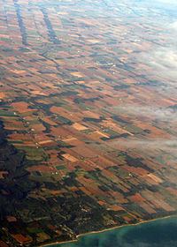
Bluewater's western boundary is Lake Huron. Its northern boundary is the Bayfield River between Lake Huron and Clinton. Highway 4 is the eastern boundary, while Huron Road 83 and the Exeter urban boundary (in South Huron) form the southern boundary.
Bluewater includes the communities of Bayfield, Blake, Brucefield, Dashwood, Hensall, Kippen, St. Joseph, Sarepta, Vanastra, Varna, and Zurich.
Demographics
Population trend:
Notable persons
References
Bluewater, Ontario Wikipedia(Text) CC BY-SA