
Population Uninhabited | ||
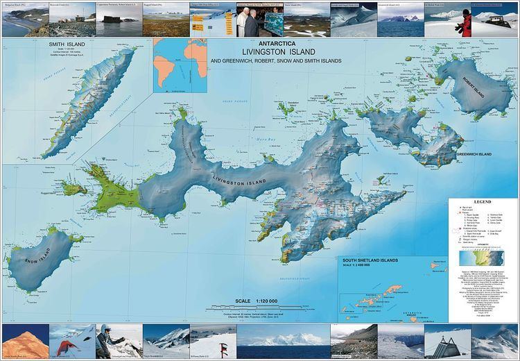 | ||
Onogur Islands (Bulgarian: Оногурски острови, ‘Onogurski ostrovi’ o-no-'gur-ski 'os-tro-vi) is the group of nine islands and some islets and rocks adjacent to the northwest coast of Robert Island in the South Shetland Islands, Antarctica. The group is situated between Carlota Cove to the southwest and Clothier Harbour to the northeast, and 700 m (770 yd) southeast of Cornwall Island. Kovach Island and Grod Island, the largest two in the group, have a surface area of 11 hectares (27 acres) and 10 hectares (25 acres) respectively. The area was visited by early 19th century sealers based in Clothier Harbour.
Contents
Map of Onogur Islands, Antarctica
The island group is named after the settlement of Onogur in northeastern Bulgaria in connection with the Onogur Bulgars (5th-7th century).
Islands in the Onogur group
The group comprises the following islands:
Location
Onogur Islands are centred at 62°21′07″S 59°41′00″W. British mapping in 1822 and 1968, Chilean in 1971, Argentine in 1980, and Bulgarian in 2009.