
Population Uninhabited | ||
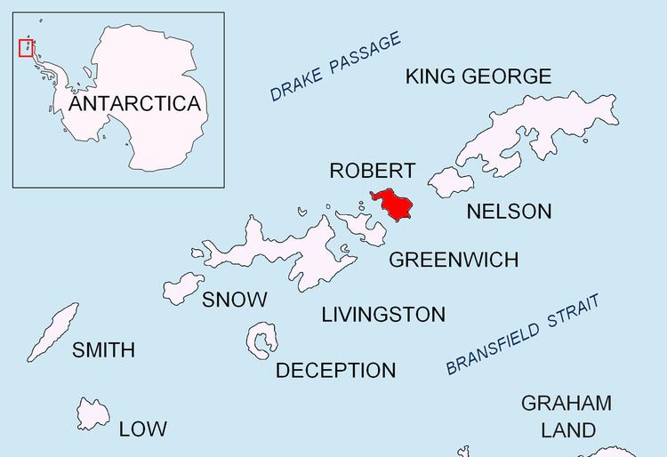 | ||
Osenovlag Island (Bulgarian: остров Осеновлаг, ‘Ostrov Osenovlag’ \'os-trov o-'se-no-vlag) is the easternmost island in the Onogur group off the northwest coast of Robert Island in the South Shetland Islands, Antarctica. The feature is rocky, extending 510 m in southeast-northwest direction and 130 m wide. It is separated from Shipot Point by a 90 m wide passage. The area was visited by early 19th century sealers.
Contents
Map of Osenovlag Island, Antarctica
The island is named after the settlement of Osenovlag in Western Bulgaria.
Location
Osenovlag Island is located at 62°20′54.6″S 59°40′25″W, which is 3.55 km northeast of Fort William Point and 1.24 km southwest of Hammer Point. British mapping in 1968 and Bulgarian mapping in 2009.
Maps
References
Osenovlag Island Wikipedia(Text) CC BY-SA