
Population Uninhabited | ||
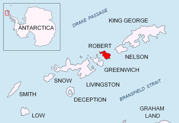 | ||
Oescus Island (Bulgarian: остров Ескус, ‘Ostrov Oescus’ \'os-trov 'es-kus) is the low ice-free island in the Onogur group off the northwest coast of Robert Island in the South Shetland Islands, Antarctica extending 380 m in southeast-northwest direction and 40 m wide. The feature comprises two parts connected by a spit, and is separated from Redina Island, Kovach Island and Leeve Island by passages 120 m, 160 m and 130 m wide respectively.
Contents
Map of Oescus Island, Antarctica
The island is named after the ancient Roman town of Oescus in Northern Bulgaria.
Location
Oescus Island is located at 62°21′07″S 59°41′15.5″W, which is 1.42 km north of Misnomer Point and 890 m west of Shipot Point. British mapping in 1968 and Bulgarian mapping in 2009.
Maps
References
Oescus Island Wikipedia(Text) CC BY-SA