Trisha Shetty (Editor)

Leeve Island

Updated on
Edit
Like
Comment
Share on FacebookTweet on TwitterShare on LinkedInShare on Reddit
Location
  
Antarctica

Population
  
Uninhabited

Archipelago
  
South Shetland Islands

Island group
  
South Shetland Islands

Leeve Island

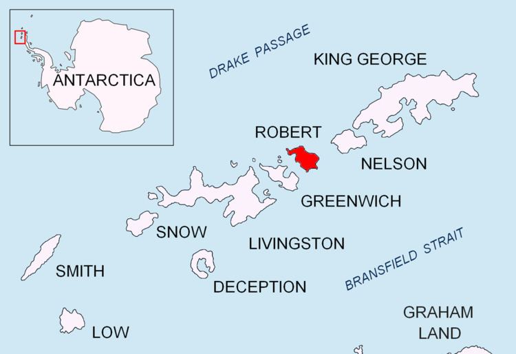
Leeve Island (Bulgarian: остров Лееве, ‘Ostrov Leeve’ \'os-trov 'le-e-ve) is the low ice-free island in the Onogur group off the northwest coast of Robert Island in the South Shetland Islands, Antarctica extending 200 m in southeast-northwest direction and 80 m wide. It is separated from Redina Island by a 100 m wide passage.

Contents

Map of Leeve Island, Antarctica

The island is named after Leeve River in Rila Mountain, Bulgaria.

Location

Leeve Island is located 1.46 km north of Misnomer Point and 640 m west-southwest of Shipot Point. Bulgarian mapping in 2009.

Maps

  • Livingston Island to King George Island. Scale 1:200000. Admiralty Nautical Chart 1776. Taunton: UK Hydrographic Office, 1968.
  • L.L. Ivanov. Antarctica: Livingston Island and Greenwich, Robert, Snow and Smith Islands. Scale 1:120000 topographic map. Troyan: Manfred Wörner Foundation, 2009. ISBN 978-954-92032-6-4 (Second edition 2010, ISBN 978-954-92032-9-5)
  • Antarctic Digital Database (ADD). Scale 1:250000 topographic map of Antarctica. Scientific Committee on Antarctic Research (SCAR), 1993–2016.
  • References

    Leeve Island Wikipedia