Suvarna Garge (Editor)

Grod Island

Updated on
Edit
Like
Comment
Share on FacebookTweet on TwitterShare on LinkedInShare on Reddit
Location
  
Antarctica

Population
  
Uninhabited

Archipelago
  
South Shetland Islands

Island group
  
South Shetland Islands

Grod Island

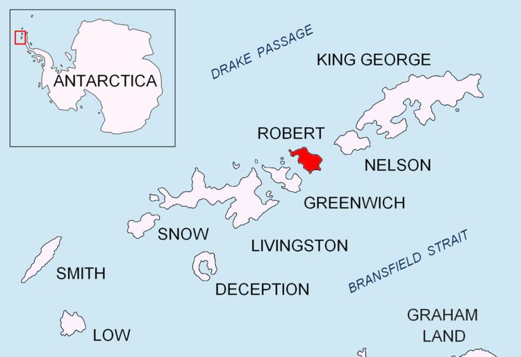
Grod Island (Bulgarian: остров Грод, ‘Ostrov Grod’ \'os-trov 'grod) is the southernmost island in the Onogur group off the northwest coast of Robert Island in the South Shetland Islands, Antarctica. The feature is low and ice-free, extending 610 m in east-west direction and 200 m wide. It is separated from Robert Island by a 130 m wide passage.

Contents

Map of Grod Island, Antarctica

The island is named after the Bulgar ruler Grod (6th century).

Location

Grod Island is located 810 m north of Misnomer Point and 940 m southwest of Shipot Point. British mapping in 1968 and Bulgarian mapping in 2009.

Maps

  • Livingston Island to King George Island. Scale 1:200000. Admiralty Nautical Chart 1776. Taunton: UK Hydrographic Office, 1968.
  • L.L. Ivanov. Antarctica: Livingston Island and Greenwich, Robert, Snow and Smith Islands. Scale 1:120000 topographic map. Troyan: Manfred Wörner Foundation, 2009. ISBN 978-954-92032-6-4 (Second edition 2010, ISBN 978-954-92032-9-5)
  • Antarctic Digital Database (ADD). Scale 1:250000 topographic map of Antarctica. Scientific Committee on Antarctic Research (SCAR), 1993–2016.
  • References

    Grod Island Wikipedia