
Easiest route snow/glacier First ascent 2004 | Elevation 1,149 m | |
 | ||
Similar Levski Peak, Mount Friesland, Deception Island | ||
Anctartica the ongal peak
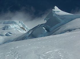
Ongal Peak (Vrah Ongal \'vr&h 'on-g&l) is a sharp glaciated peak on the Levski Ridge, Tangra Mountains, Livingston Island in the South Shetland Islands, Antarctica. The peak was first ascended and surveyed on 21 December 2004 by the Bulgarian Lyubomir Ivanov from Camp Academia. It was named after the historic Ongal region of the First Bulgarian Empire located in the Danube Delta area and north of the Black Sea, in connection with the Battle of Ongal.
Contents
Map of Ongal Peak, Antarctica
Location
The peak is located 520 m north of Levski Peak, 1.76 km southeast of Zograf Peak, 650 m south of Komini Peak, 1.19 km south of Ravda Peak and 2.44 km west-southwest of Plana Peak (Bulgarian topographic survey Tangra 2004/05, and mapping in 2005 and 2009).
Maps
References
Ongal Peak Wikipedia(Text) CC BY-SA