
 | ||
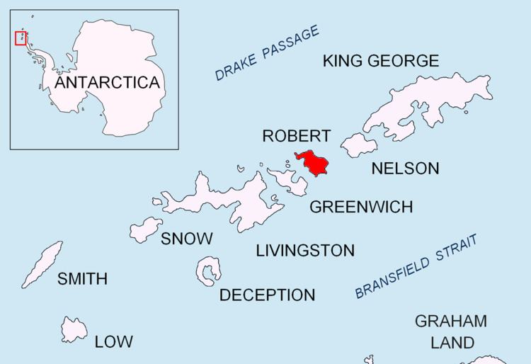
Shipot Point (Bulgarian: нос Шипот, ‘Nos Shipot’ \'nos 'shi-pot) is the ice-free point on the northwest coast of Robert Island in the South Shetland Islands projecting 630 m northwards, and together with Osenovlag Island and Svetulka Island forming the southwest side of Clothier Harbour. The area was visited by early 19th century sealers.
Contents
The point is named after the settlement of Shipot in Northwestern Bulgaria.
Location
Shipot Point is located at 62°21′01.6″S 59°40′13″W, which is 3.63 km northeast of Fort William Point and 1.36 km southwest of Hammer Point. Bulgarian mapping in 2009.
Maps
References
Shipot Point Wikipedia(Text) CC BY-SA