
- elevation 1,070 m (3,510 ft) - elevation 706 m (2,316 ft) | ||
 | ||
Municipality Snowy Monaro Regional Council | ||
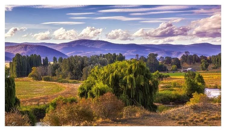
The Numeralla River, a perennial river that is part of the Murrumbidgee catchment within the Murray–Darling basin, is located in the Monaro region of New South Wales, Australia.
Contents
Map of Numeralla River, New South Wales, Australia
The name of the river is derived from the Aboriginal word meaning "valley of plenty."
Course
The river rises on the northern slopes of the Great Dividing Range, about 12 kilometres (7.5 mi) east of the village of Nimmitabel, and flows generally north and west, joined by eight tributaries including the Kybeyan and Big Badja rivers before reaching its confluence with the Murrumbidgee River, south of Bredbo and about 18 kilometres (11 mi) north of Cooma; descending 367 metres (1,204 ft) over its 93-kilometre (58 mi) course.
The river is a diverse ecosystem rich with many different animal species such as the uncommonly seen Wanderer's Kingfisher and the Kiora frog. Its native freshwater fish fauna, however, has unfortunately been entirely replaced by introduced trout species, now replaced by the introduced European carp species; a common situation in south-east Australia.
Alluvial gold was discovered in and along the river in 1858, with the diggings worked until 1868.