
- location south-east of Kybeyan - location near Warrens Corner | - elevation 1,060 m (3,478 ft) - elevation 745 m (2,444 ft) | |
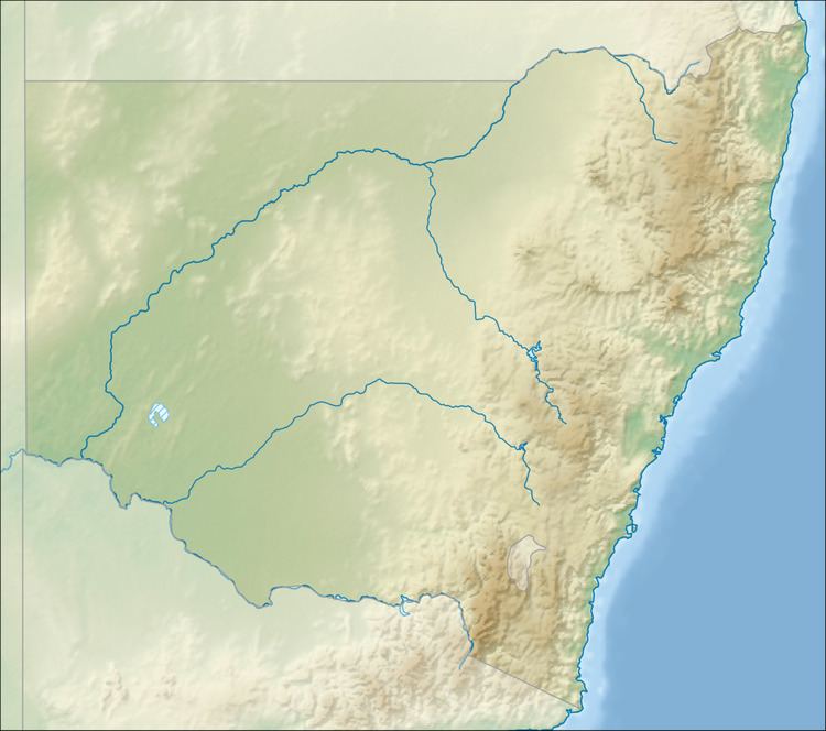 | ||
The Kybeyan River, a watercourse that is part of the Murrumbidgee catchment within the Murray–Darling basin, is located in the Monaro region of New South Wales, Australia.
Map of Kybeyan River, New South Wales, Australia
The river rises on the western slopes of the Great Dividing Range, near Greenland Swamp, and flows generally north and north-west, joined by three tributaries before reaching its confluence with the Numeralla River, near Warrens Corner; descending 317 metres (1,040 ft) over its 36-kilometre (22 mi) course.
References
Kybeyan River Wikipedia(Text) CC BY-SA