
- location below One Tree Hill - location north of Cooma | - elevation 1,060 m (3,478 ft) - elevation 719 m (2,359 ft) | |
 | ||
The Rock Flat Creek, a watercourse that is part of the Murrumbidgee catchment within the Murray–Darling basin, is located in the Monaro region of New South Wales, Australia.
Contents
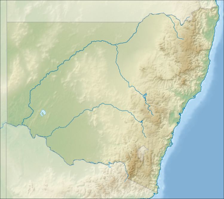
Map of Rock Flat Creek, New South Wales, Australia
Course and features
The Rock Flat Creek (technically a river) rises below One Tree Hill, on the lower slopes of the Snowy Mountains, part of the Great Dividing Range. The creek flows generally north by west before reaching its confluence with the Cooma Creek just upstream from that creek's confluence to form the Numeralla River (itself a tributary of the Murrumbidgee River), north of the town of Cooma. The creek descends 336 metres (1,102 ft) over its 41-kilometre (25 mi) course.
The Monaro Highway crosses the creek near the locality of Milton Park.
References
Rock Flat Creek Wikipedia(Text) CC BY-SA