
Population 237 (2006 census) Elevation 1,075 m Local time Tuesday 9:09 AM | Postcode(s) 2631 Mean max temp Mean min temp Postal code 2631 | |
 | ||
Location 435 km (270 mi) SSW of Sydney152 km (94 mi) S of Canberra37 km (23 mi) SE of Cooma75 km (47 mi) W of Bega Weather 11°C, Wind NE at 11 km/h, 98% Humidity | ||
Nimmitabel in the rain
Nimmitabel is a small town in the Monaro region in southeast New South Wales, Australia, in the Snowy Monaro Regional Council local government area. At the 2006 census, Nimmitabel had a population of 237.
Contents
- Nimmitabel in the rain
- Map of Nimmitabel NSW 2631 Australia
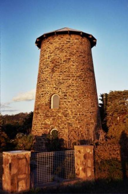
- sherwood nimmitabel monaro district nsw
- History
- References
Map of Nimmitabel NSW 2631, Australia
The town is 37 kilometres (23 mi) south of Cooma and 75 kilometres (47 mi) west of Bega. Nimmitabel is on a stretch of highway shared between the Snowy Mountains Highway (HWY B72) and the Monaro Highway (HWY B23).
It is on the southern end of the Great Dividing Range, at the west of the Monaro Range, and lies 20 kilometres (12 mi) west of the Wadbilliga National Park.
Nimmitabel means "the place where many waters start or divide" in the local Aboriginal language. Many various spellings were adopted for the town, including: Nimmitybelle, Nimithybale, Nimitybell, Nimity Belle and Nimmitabel.
The area around Nimmitabel has the only true chernozem soil in Australia, a very rich, fertile and dark colored soil.