
Area 326.8 sq mi | ||
 | ||
Destinations Points of interest North Lincolnshire Museum, Thornton Abbey, Elsham Hall, The Trolleybus Museum at Sandtoft, Baysgarth House Museum | ||
Map of North Lincolnshire
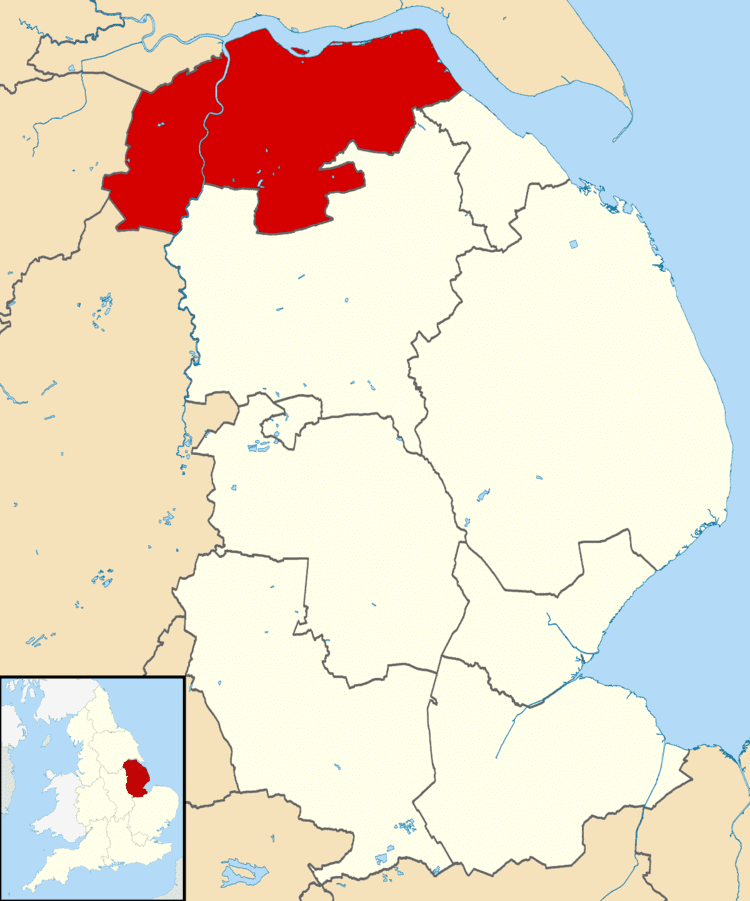
North Lincolnshire is a unitary authority area in the region of Yorkshire and the Humber in England. The population of the Unitary Authority at the 2011 census was 167,446. For ceremonial purposes it is part of Lincolnshire. There are three significant towns: Scunthorpe (the administrative centre), Brigg and Barton-upon-Humber.
Contents
North Lincolnshire was formed following the abolition in 1996 of Humberside County Council, on 1 April 1996 four unitary authorities replaced Humberside, these being North Lincolnshire and North East Lincolnshire on the southbank of the river Humber and the East Riding of Yorkshire and Kingston upon Hull on the north bank
During the preceding year, shadow authorities had been operating overseeing the transfer of services, buildings, vehicles, employees and political power to the new authorities.
It is also home to the Haxey Hood, which is a traditional event which takes place in Haxey on 6 January in the afternoon and is a kind of large rugby football scrum where a leather tube (called the "hood") is pushed to one of four pubs, where it remains until next year's game.
In 2015, North Lincolnshire Council began discussions with the other nine authorities in the Greater Lincolnshire area as part of a devolution bid. If successful this would see greater powers over education, transport, health, crime and social care being devolved from central government.
Location
The 846 km2 (327 sq mi) council area lies on the south side of the Humber estuary and consists mainly of agricultural land, including land on either side of the River Trent. It borders onto North East Lincolnshire, Lincolnshire, South Yorkshire, Nottinghamshire and the East Riding of Yorkshire. The council's administrative base is at the Civic Centre in Scunthorpe.
History of area
Before the creation of Humberside in 1974, it was part of Lincolnshire, becoming North Lincolnshire only in 1996, on the abolition of Humberside. Until 1 April 1996, the area had been part of Humberside. The district was formed by a merger of the boroughs of Glanford and Scunthorpe, and southern Boothferry.
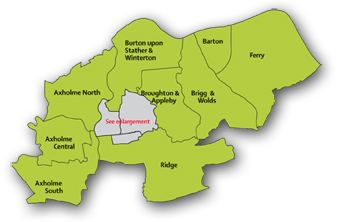
Towns and villages
Politics
The Labour Party took control of the council, with a majority of 1, from the Conservatives after the 2007 election where the Labour Party had 22 councillors elected. The Conservative Party held 18 seats, the Liberal Democrats held 1 seat and the Independents held two seats. After the 2011 election, the Conservatives regained control of the council with 23 seats, the Labour Party falling to 20 seats.
The area is represented in parliament by three MPs. At the 2010 election the Labour Party retained the Scunthorpe seat and the Conservative Party won the Brigg and Goole seat and the Cleethorpes seat which includes the Barton area.
North Lincolnshire operates under a Cabinet and Leader form of governance. The cabinet has eight members from the largest political party elected to the cabinet by the council of 43. Cabinet members make decisions on their portfolio individually.
Economy
This is a chart of trend of regional gross value added of North and North East Lincolnshire at current basic prices published (pp. 240–253) by Office for National Statistics with figures in millions of British Pounds Sterling. 2004 onwards published (pp. 139) in 2007
Eastern Airways has its head office in the Schiphol House on the grounds of Humberside Airport in Kirmington, North Lincolnshire. Scunthorpe is the home of the Tata owned Appleby-Frodingham steel plant, one of the largest and most successful plants in Europe. Port operations, green energy, logistics, agriculture and food processing are important elements of the areas employment profile.