
Population 1,328 (2011 Census) Sovereign state United Kingdom | OS grid reference SE805005 Dialling code 01427 | |
 | ||
Region | ||
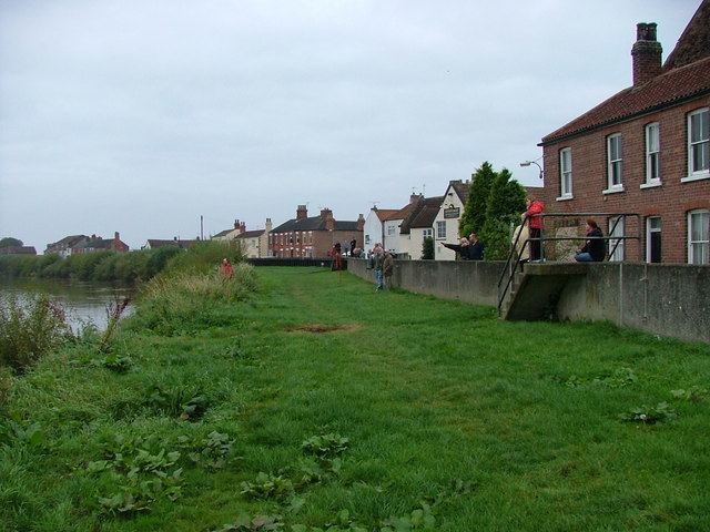
Owston Ferry is a village and civil parish in North Lincolnshire, England. It is situated on the west bank of the River Trent, and 9 miles (14 km) north from Gainsborough, and has a total resident population of 1,128, including Kelfield and increasing to 1,328 at the 2011 census.
Contents
- Map of Owston Ferry UK
- History
- Government
- Assessment as nuclear site
- Geography
- Education
- Notable people
- References
Map of Owston Ferry, UK
Sometimes referred to in short as Owston or Ferry, the village, which forms part of the Isle of Axholme, is bounded to the west by the A161 road and the village of Haxey. The River Trent is directly to the east. To the north, beyond a number of hamlets and villages, lies the River Humber. West Butterwick was originally a part of the township of Owston.
History
The name "Owston" is thought to derive from the Old Norse "austr+tun", meaning "east farmstead", a view shared by other sources which outline that it specifically implied the "farmstead east of Haxey". The name "Owston" is shared by at least two other settlements within the United Kingdom. In the 1086 Domesday Book it is listed as "Ostone",
Owston Ferry Castle, also known as Kinnard's Ferry Castle, was a motte-and-bailey fortification from the 12th century. It lay on the site of an earlier, Roman castrum. It was dismantled by order of Henry II of England in 1175-76 following the Revolt of 1173–1174.
Owston Ferry Grade I listed Anglican parish church is dedicated to St Martin. The church register dates from 1603.
In 1885 Kelly's reported the existence of Wesleyan and Primitive Methodist chapels, a rope-walk, boat-building yard, several corn mills, and the manufacture of sacking and sail cloth. The parish was of 5,350 acres (22 km2). Wheat, barley, potatoes, beans and grass were grown.
West Kinnard's Ferry was a separate settlement. Kinnard's short for King Edward's Ferry. According to Rev. W.B. Stonehouse, " History of the Isle of Axholme." 1836. Established by Edward the Confessor when he required help from Northumbria against southern enemies.
Government
As part of the provisions of the Local Government Act 1972, Owston Ferry formed part of the Boothferry district of the county of Humberside, having previously lain within the Parts of Lindsey from the historic county boundaries of Lincolnshire. Since 1996 however, Owston Ferry has formed part of the unitary authority area of North Lincolnshire.
Assessment as nuclear site
In 2009, a very specific area of land in Owston Ferry was highlighted in a study by W S Atkins for the department of energy on alternative sites for nuclear power plant, as representing a potentially-suitable site "worthy of further consideration" for a nuclear power plant. It had also featured in a 1970s CEGB list of possible sites for such plant, which Atkins may well have perused for ideas in its 2009 work. In any event, by 2010, the department had issued another document saying that it had given the matter further consideration. It said it had concluded that, although the site nominally met its "strategic site assessment criteria" for new nuclear power sites, it was not a credible site for deployment of new nuclear by the end of 2025 - adding that, anyway, no firm had expressed any interest in building such plant there.
Geography
At 53°29′42.8″N 0°47′8.3″W (53.495228°, -0.785656°), and 140 miles (225 km) north-northwest of London, Owston Ferry stands on flat ground by the River Trent, opposite the hamlet of East Ferry.
The closest motorway to Owston Ferry is the M180, whilst Robin Hood Airport is 10 miles (16 km) to the west, in South Yorkshire.
The civil parish of Owston Ferry, includes the village of Owston Ferry, as well as a number of smaller localities, including West Ferry, Gunthorpe, Heckdyke and Melwood.
Education
Owston Ferry contains one primary school, St. Martin's Church of England Primary School.