
OS grid reference TA104108 | Civil parish Kirmington Sovereign state United Kingdom Local time Wednesday 5:17 PM Number of airports 1 | |
 | ||
Population 365 ( Including Croxton 2011) Weather 16°C, Wind SW at 13 km/h, 53% Humidity | ||
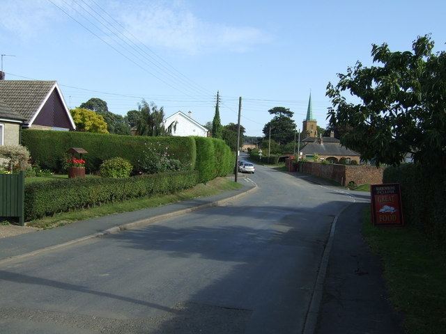
Kirmington is a village in North Lincolnshire, England. It is part of the civil parish of Kirmington and Croxton. From the 2011 census the village became a civil parish in its own name. Kirmington is situated just north from the A18 road, 5 miles (8 km) west from Immingham and 7 miles (11 km) east from Brigg. Less than 1 mile (1.6 km) to the west is Humberside International Airport, the former Second World War station, RAF Kirmington.
Contents
Map of Kirmington, Ulceby, UK
Kirmington's recorded population in the 2001 Census was 337, increasing to 365 in the 2011 Census.
The village Grade II* listed Anglican church is dedicated to St Helena. The church is in Perpendicular and Decorated style, with chancel nave and vestry, and a 12th-century tower. In 1838 a wooden spire covered in copper was added. The church was restored in 1859 by Samuel Sanders Teulon, who rebuilt both aisles and re-roofed the nave.
St Helena's is part of the Brocklesby Park Group of the Deanery of Yarborough. St Helena was the mother of the Roman Emperor Constantine.
A Wesleyan Methodist chapel was built in 1835, rebuilt in 1885, and was closed in 1976.
The village school is Kirmington St Helena's Church of England Primary school, built in the 19th century, and extended, with additional facilities for pre-school children, in 2007.
Humberside Airport
RAF Kirmington was a Class A airfield of the Second World War. Construction began in 1941, and the airfield was opened for use by Bomber Command in summer 1942. Closed in 1953, it was used for agricultural flying until being converted for commercial use by Lindsey County Council. It opened as Humberside Airport in March 1974.
Eastern Airways has its head office, Schiphol House, at Humberside Airport.