Neha Patil (Editor)

Mirador Hill

Updated on
Edit
Like
Comment
Share on FacebookTweet on TwitterShare on LinkedInShare on Reddit
Mirador Hill

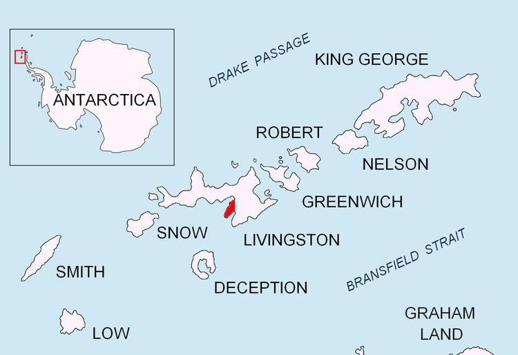
Mirador Hill (Spanish: Cerro Mirador, 'Balcony Hill') is the rocky hill rising to 307 m on Hurd Peninsula, Livingston Island in the South Shetland Islands, Antarctica and surmounting Johnsons Glacier to the north-northwest and False Bay to the southeast.

Contents

The feature was mapped and descriptively named in 1991 by the Spanish Antarctic Expedition from its excellent view towards False Bay.

Location

The peak is located at 62°40′53.4″S 60°20′23″W which is 1.35 km south-southwest of Napier Peak, 880 m north by east of Moores Peak and 4.49 km west-northwest of Kikish Crag (Spanish mapping in 1991, and Bulgarian in 1996, 2005 and 2009).

Maps

  • Isla Livingston: Península Hurd. Mapa topográfico de escala 1:25 000. Madrid: Servicio Geográfico del Ejército, 1991.
  • L.L. Ivanov. Livingston Island: Central-Eastern Region. Scale 1:25000 topographic map. Sofia: Antarctic Place-names Commission of Bulgaria, 1996.
  • L.L. Ivanov et al. Antarctica: Livingston Island and Greenwich Island, South Shetland Islands. Scale 1:100000 topographic map. Sofia: Antarctic Place-names Commission of Bulgaria, 2005.
  • L.L. Ivanov. Antarctica: Livingston Island and Greenwich, Robert, Snow and Smith Islands. Scale 1:120000 topographic map. Troyan: Manfred Wörner Foundation, 2009. ISBN 978-954-92032-6-4
  • References

    Mirador Hill Wikipedia