
Palestine grid 161/121 Name meaning "A water-course" | ||
 | ||
Weather 8°C, Wind SW at 10 km/h, 83% Humidity | ||
Nahalin, also spelled Nahhalin, Nahhaleen, or Nahaleen, (Arabic: نحالين) is a Palestinian village located in the Bethlehem Governorate to the southwest of Bethlehem in the West Bank. The word nahaleen is Arabic for those who collect honey from bees. The village was well known for beekeeping and tens of beehives still exist in Nahalin today. The village is also known locally for its almond and olive trees, vineyards, parsley and vegetables, namely onions and beans. The built-up area of Nahalin consists of roughly 730 dunams, 20 of which make up the old center of the village.
Contents
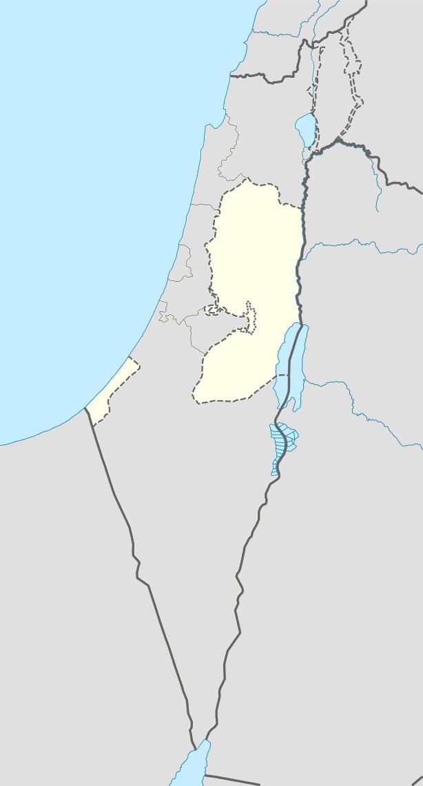
Map of Nahalin
The village is located inside an enclave in the Gush Etzion settlement bloc, surrounded by the Israeli settlements of Gvaot, Rosh Tzurim, Neve Daniel and Betar Illit. After the Oslo Accords, Nahalin was classified as Area B, meaning that civil affairs have been under the control of the Palestinian National Authority and security matters under the control of the Israel Defense Forces.
History
Byzantine shards have been found at a hilltop. Modern Nahalin was built on the remains of a medieval-era village.
Ottoman era
Nahalin was incorporated into the Ottoman Empire in 1517 with all of Palestine, and in 1596 Nahalin appeared in the tax registers as being in the Nahiya of Quds of the Liwa of Quds. It had a population of 40 Muslim households and 16 Christian households. It paid taxes on wheat, barley, grape syrup or molasses, and goats or beehives. Historically, Nahalin was frequented by Bedouin and was well known for its tradition of beekeeping.
The French explorer Victor Guérin visited the village in the 1863, and he described it as "a jumble of small houses", with tobacco plantations surrounding it. In 1883, the Palestine Exploration Fund's Survey of Western Palestine described Nahalin as "A village of moderate size, on a kind of natural terrace on the side of a ridge, with a great valley to the north..[..] To the north is a spring in the valley; there is also a second spring to the south.[..] To the east is a Mukam, with two large oak-trees, sacred to Haj 'Aleiyan." "There is a tradition about tomb of Haj 'Aleiyan, of whom it is related that, having been refused entrance into the mosques because of his ragged and filthy appearance, he spread his Abba on the sea and performed his prayers on it."
British Mandate era
In the 1922 census of Palestine, conducted by the British Mandate authorities, Nahhalin had a population of 316, 4 Christians and 312 Muslims. In the 1931 census the population of Nahhalin was a total of 440, (3 Christians and the rest Muslim), in 98 inhabited houses.
In 1945 the population of Nahhalin was 620, all Arabs, who owned 16,144 dunams of land according to an official land and population survey. Of this, 1,068 dunams were plantations and irrigable land, 4,659 for cereals, while 63 dunams were built-up (urban) land.
1948-1967
In the wake of the 1948 Arab–Israeli War, and after the 1949 Armistice Agreements, Nahalin came under Jordanian rule.
On March 28, 1954, an Israeli raid by Unit 101 on an Arab Legion base 4 kilometers outside Nahalin, where the Israeli forces missed the base and placed explosive charges and destroyed seven houses, including the mosque of the village killed five national guards, three legionnaires (who were travelling from the Arab Legion base to the village) and one woman, and wounded eighteen civilians including men, women and children. According to David Tal, the raid was the first of Israel's reprisal raids against a military target in Jordanian controlled territory.
1967-present
Since the Six-Day War in 1967, Nahalin has been under Israeli occupation. The Government of Israel and representatives of the Palestinian Arab peoples reached an agreement in September of 1995 in what became known as the Oslo Accords, and which ultimate aim was to relegate administrative authority among the different sectors of the Palestinian Arab population, in collaboration with Israel. However, Nahalin's close proximity to Jewish settlements in the region, and Jewish security concerns resulting therefrom, has resulted in Nahalin being designated as Area C, in which designation the Palestinian Authority has no say in security concerns relating to Nahalin and to its immediate environs. While the town's inhabitants are permitted to seek redress of court-related issues in places administered by the Palestinian Authority, any serious breaches in security are handled by the IDF.
The population in the 1967 census conducted by the Israeli authorities was 1,109.
Large parts of Nahalin's land are confiscated by Military Orders by declaring it Israeli "State Land".
In 1988, journalist Helen Winternitz spent 3 years in Nahalin and published her experiences in the book A Season of Stones.
In 1989, five villagers were killed by Israel Border Police during an early morning raid. The villagers claimed the security forces opened fire without provocation as they were leaving morning prayers at the mosque. Then General Amram Mitzna claimed his forces had come under attack from about 100 stone-throwing youths. On 30 April 1989, preliminary findings of a military inquiry into the events indicated that the border police unit involved in the raid had "lost control and fired excessively". In May 1989, the military inquiry announced that disciplinary action against four officers and seven border policemen would be taken for "misconduct".
Since the beginning of the al-Aqsa Intifada, severe restrictions on movement have been placed on all residents. According to the United Nations Relief and Works Agency (UNRWA), from the intifada's beginning in September 2000 until the road's November 2003 reopening with IDF checkpoint monitoring, the cluster of villages represented by Nahalin, Husan and Battir were totally closed off and the only access was on foot via the Husan/al-Khadr junction. In 2004, all roads but one were reopened, and residents can now move more freely. In November of that year, USAID supported the paving of that road.
In the 2005 municipal elections in Nahalin, all ten elected candidates stood as independents. The candidate with the most votes was Qassim Yousif Mahmoud Awad, who got 1120 votes.
According to the Palestinian Central Bureau of Statistics, the town had a population of over 6,409 in mid-year 2006, of whom 35% are under the age of 18. Approximately 150 - 200 persons are registered with UNRWA as refugees of the 1948 war. Villagers carry a West Bank ID card.
Some 90% of the population between the ages of 18 and 35 are unemployed. The natural growth of the village will become a problem in the future due to lack of living space. Nahalin will become entirely closed in by both the expanding settlements and the Israeli West Bank barrier, placing severe constraints on the movement of residents and their access to services outside the village.