
Founded 1969 | Population (2015) 915 | |
 | ||
Weather 9°C, Wind NE at 3 km/h, 67% Humidity | ||
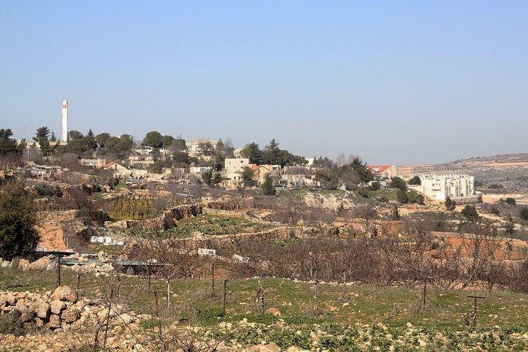
Rosh Tzurim (Hebrew: רֹאשׁ צוּרִים, eng. Top of the Rocks) is an Israeli settlement and religious kibbutz in the West Bank established in 1969. It is located about 20 kilometers (12 mi) south of Jerusalem, 3.9 km east of the Green Line, inside of the Separation Barrier. A member of the Religious Kibbutz Movement, it falls under the jurisdiction of the Gush Etzion Regional Council. In 2015 it had a population of 915.
Contents
Map of Rosh Zurim
The international community considers Israeli settlements in the West Bank illegal under international law, but the Israeli government disputes this.
History
The settlement was established in 1969 by members of Bnei Akiva Religious Scouts and Nahal soldiers. The Name originates from the Biblical passage "For from the top of the mountains I see him" (Num 23:9).
Rosh Tzurim is located on the site of the ancient Beth Zechariah and on a hilltop that had previously been occupied by Ein Tzurim, a kibbutz that was destroyed in the 1948 Arab-Israeli War by the Jordanian Arab Legion and later re-established in the Lakhish area.
Rosh Tzurim went through a privatization process, first through the rental of available houses, and later an additional neighborhood, Nof Tzurim, was built on the kibbutz.
Economy
The kibbutz raises turkeys, produces milk and grows grapes for wine production along with other fruits.