
Prominence 310 m | First ascent Unknown Elevation 1,749 m | |
 | ||
Similar Mount Buller, Mount Howitt, Mount Baw Baw, Mount Hotham, Mount Cobbler | ||
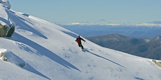
Camping overnight on mount stirling
Mount Stirling is a mountain in the Victorian Alps of the Great Dividing Range, located in the Hume region of Victoria, Australia. The mountain has an elevation of 1,747–1,749 metres (5,732–5,738 ft) above sea level.
Contents
- Camping overnight on mount stirling
- Map of Mount Stirling Mount Buller VIC 3723 Australia
- Location and features
- Huts
- Seasonal activities
- References
Map of Mount Stirling, Mount Buller VIC 3723, Australia
Mount Stirling is also an abbreviation of the Mount Stirling Alpine Resort, a cross-country and backcountry ski resort located on the slopes of the mountain and situated approximately 230 kilometres (140 mi) from Melbourne. The Mount Stirling ski resort is a popular location for beginner backcountry skiers and snowboarders due to its distance from Melbourne and proximity to the Mount Buller Alpine Resort. The Mount Stirling Alpine Resort is contained within an 2,820-hectare (7,000-acre) Unincorporated area of Victoria; the larger surrounding locality of Mount Buller is part of the Shire of Mansfield. As at the 2011 census, the area had a population of 36.
Mount Stirling was named in honour of James Stirling, a surveyor and later, the Victorian Government Geologist.
Location and features
The mountain and ski resort are located at the head of the Delatite River, which flows westwards. It is surrounded by the Stirling Circuit Road, which provides access to mountains further into the Victorian Alps. In winter the road is closed at Telephone Box Junction, from which it is generally possible to ski to reach the summit (depending on conditions it is sometimes necessary to walk the lower section).
The mountain has fantastic views across to nearby Mount Buller as well as the high range that runs from Mount Cobbler through Mount Speculation and the Cross cut Saw and Mount Howitt. From there the range swings westwards, finishing in The Bluff, an impressive tilted plateau that has large clifflines on its northern side.
The lower reaches of the mountain are dominated by Alpine Ash forests, which merge into Snowgum Woodlands above approximately 1,400 metres (4,600 ft). There is a small part of the summit area which sits above treeline.
Huts
There are a number of huts in the area of Mount Stirling providing emergency refuge to visitors:
Seasonal activities
In winter the area is a patrolled cross country and back country ski resort. Maps of ski trails are available at the entry gate.
In summer the area is popular with four wheel drivers and bush walkers. The trail from the Circuit Road to the summit takes less than two hours to walk and is popular for day and over night trips. Also, when it is not snowing or in danger of bushfires, the area is used by numerous educational groups.